

Ziel dieser Wanderung ist eine schöne Bucht am Kootenay Lake.
Der Start befindet sich in der Nähe von Johnsens Landig.
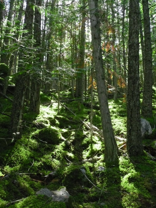
Bei dieser Wanderung haben wir unseren ersten Schwarzbären gesehen!!
Ausführliche Tourenbeschreibung (plus Bilder) folgen
Galerie du tour

Carte du tour et altitude
Minimum height 544 m
Maximum height 717 m
More about the tour author
|
|
Calvizie |
Commentaires

Ausgangspunkt ist Kaslo.
Die Route 31 (Balfour-Kaslo-Galena-Hwy) nehmen. Schön der Küste entlang und kurz vor Cooper Creek rechs abbiegen, Richtung Argenta. An diesem kleinem "Hippiedorf" vorbei. Schön auf der Schotterpiste bleiben. An Johnsens Landig (schöne Strand / schöne Bucht) vorbei. Kurz nach Johnsens Landig befindet sich ein Parkplatz und der gleichzeitig der Ausgangspunkt dieser Wanderung ist.
Tracks GPS
Trackpoints-
GPX / Garmin Map Source (gpx) download
-
TCX / Garmin Training Center® (tcx) download
-
CRS / Garmin Training Center® (crs) download
-
Google Earth (kml) download
-
G7ToWin (g7t) download
-
TTQV (trk) download
-
Overlay (ovl) download
-
Fugawi (txt) download
-
Kompass (DAV) Track (tk) download
-
Feuille de tours (pdf) download
-
Original file of the author (gpx) download
More about the tour author
|
|
Calvizie |
Add to my favorites
Remove from my favorites
Edit tags
Open track
My score
Rate