
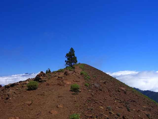

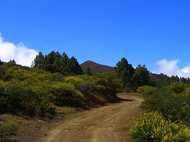
Vom Refugio del Pilar ( Picknick- und Campinplatz ) zunächst durch lichten Kiefernwald um den Birigoyo herum und anschließendem Anstieg von Süden her. Über den Kammverlauf und eine Sattel zum Montana la Barquita. Hier Abstieg über einen steilen Serpentinenweg und direkt wieder Aufstieg zum Montana de los Charcos. Vorbei am Crater del Hoyo Negro zum Pico Nambroque. Anschließend sehr schöner Rückweg vorbei an der Llano de las Moscas ( Schutzhütte ) zum Refugio del Pilar.
Galerie du tour
Carte du tour et altitude
Minimum height 1415 m
Maximum height 1930 m
More about the tour author

|
Rainman |
Commentaires

msdetroit
on 28.12.2007
Diese sehr schöne Tour haben wir 2004 auf gemacht. Lediglich die letzen Kilometer über den Fahrweg zurück zum Parkplatz haben sich ein wenig langgezogen.

Von der Hauptstraße Santa Cruz - El Paso in Richtung Refugio del Pilar ( ausgeschildert ) abbiegen. Am Refugio parken.
Tracks GPS
Trackpoints-
GPX / Garmin Map Source (gpx) download
-
TCX / Garmin Training Center® (tcx) download
-
CRS / Garmin Training Center® (crs) download
-
Google Earth (kml) download
-
G7ToWin (g7t) download
-
TTQV (trk) download
-
Overlay (ovl) download
-
Fugawi (txt) download
-
Kompass (DAV) Track (tk) download
-
Feuille de tours (pdf) download
-
Original file of the author (gpx) download
More about the tour author
|
|
Rainman |
Add to my favorites
Remove from my favorites
Edit tags
Open track
My score
Rate