


The path starts under the terasse of taverna Nicolas.
The taverna has rooms.
Follow the red marks.The real trailhead start after 1 km. It is a bit hard to find - there is a red left turn mark on the concrete pavement.
The path continues down a step hill to the riverbed.You end up in a confluence af ravines,but you will find the right one by looking for blue an red marks.Walking in or beside the river,you will notice that there are not many marks - but they are there when you nead them.After about 4k the right/western mountainside opens up and you will se a E/W valley with many sage.Follow that for about 1 k and then turn S and uphill.You will pass a new and a old cistern and end up on a dirt road.Walk S/left for a short while untill you see a large red marking.Now you have to climb a rather indistinct path due W for 1 k.You end up on the Chania-Omalos road.Turn south and you will soon arive at Omalos hamlet.The New Omalos Hotel is very nice..
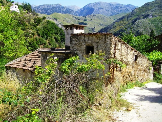
Galerie du tour
Carte du tour et altitude
Minimum height 383 m
Maximum height 1107 m
More about the tour author

|
medoc |
Commentaires

Bus from Chania to Lakki several times a day.
Tracks GPS
Trackpoints-
GPX / Garmin Map Source (gpx) download
-
TCX / Garmin Training Center® (tcx) download
-
CRS / Garmin Training Center® (crs) download
-
Google Earth (kml) download
-
G7ToWin (g7t) download
-
TTQV (trk) download
-
Overlay (ovl) download
-
Fugawi (txt) download
-
Kompass (DAV) Track (tk) download
-
Feuille de tours (pdf) download
-
Original file of the author (gpx) download
More about the tour author
|
|
medoc |
Add to my favorites
Remove from my favorites
Edit tags
Open track
My score
Rate