


Continuazione (2° giorno) della traversata Limone Piemonte - Ventimiglia (vedasi altra traccia gpx disponibile).
Da Colle della Melosa (Rifugio) a Ventimiglia.
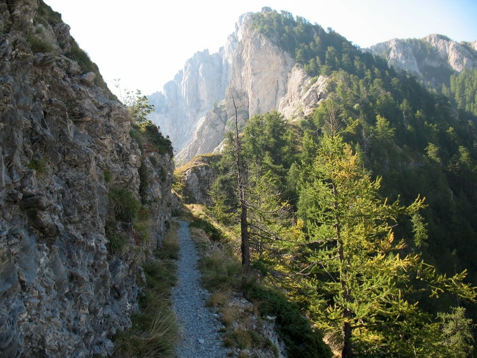
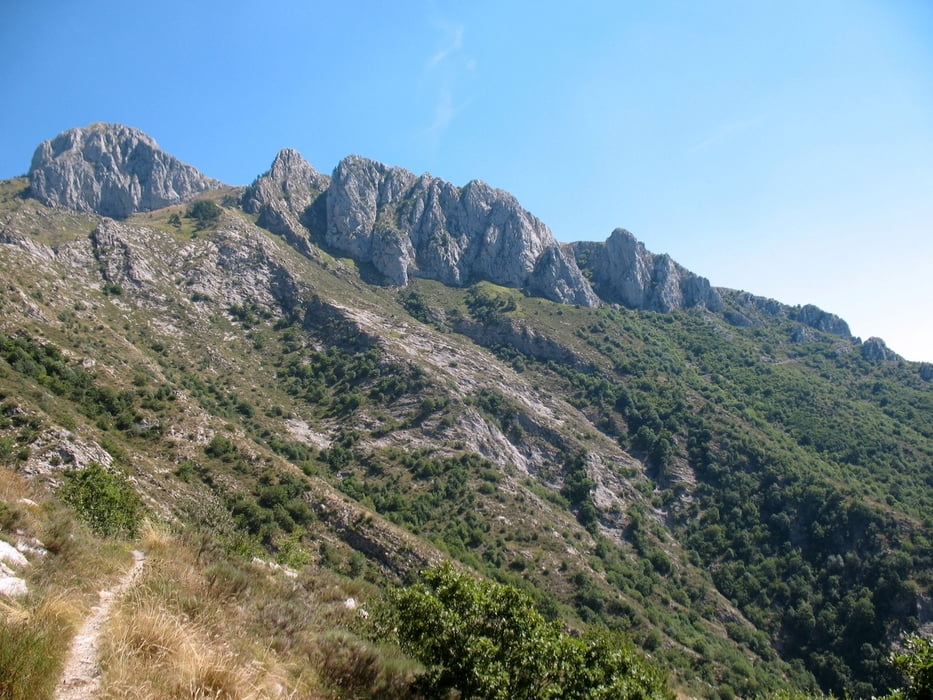
Primo tratto con ottimi panorami su alpi marittime scendendo da Colle Melosa, con passaggi in single trail tecnico e particolarmente esposto.
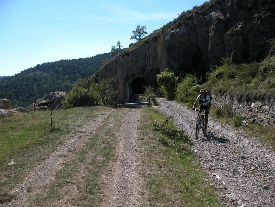
Parte centrale del percorso che si caratterizza amche per lunga discesa continuata e veloce su sterrato (25 km ca) che mette a dura prova resistenza/attenzione e freni.
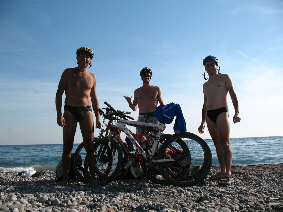
Parte finale di scarso interesse/divertimento ma il meglio è gia' stato fatto !
Sono disponibile a fornire - su richiesta - file gpx contenente anche 2 varianti rispetto all'originario percorso, fortemente consigliate, in specie la seconda variante che permette di evitare passaggio a mano in zona di basso interesse paesaggistico sul finire del percorso.
Further information at
http://www.itinerari-mtb.itGalerie du tour


Carte du tour et altitude
Minimum height 16 m
Maximum height 1909 m
More about the tour author
|
|
emmegi |
Commentaires

La traccia parte dal Rifugio in prossimità del Colle della Melosa dato che è la continuazione del precedente itinerario (Rifugio Allavena).
Il Rifugio è raggiungibile anche in auto.
http://www.rifugioallavena.it
Tracks GPS
Trackpoints-
GPX / Garmin Map Source (gpx) download
-
TCX / Garmin Training Center® (tcx) download
-
CRS / Garmin Training Center® (crs) download
-
Google Earth (kml) download
-
G7ToWin (g7t) download
-
TTQV (trk) download
-
Overlay (ovl) download
-
Fugawi (txt) download
-
Kompass (DAV) Track (tk) download
-
Feuille de tours (pdf) download
-
Original file of the author (gpx) download
More about the tour author
|
|
emmegi |
Add to my favorites
Remove from my favorites
Edit tags
Open track
My score
Rate