
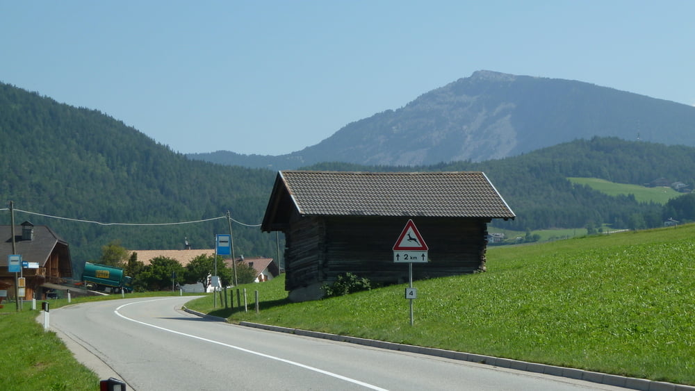

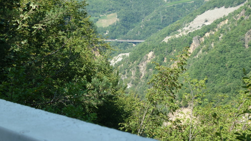
Wir fahren zunächst von Wolkenstein talwärts Richtung St. Ulrich bis zur Abzweigung Rungaditsch, Dort überqueren wir den Passo Panider. Die nun folgende Abfahrt wird begleitet von herrlichen Ausblicken ins Eisacktal rechter Hand. Links thront der mächtige Rosengarten. Es lohnt sich immer mal wieder anzuhalten. Am tiefsten Punkt ca. 500 ü.M. angelangt, folgt nun ein schweißtreibender Anstieg bis zum Karerpass (Passo Di Castalunga). Auf diesem Abschnitt der Tour waren wir einer Horde wild dreinfahrenden Porschefahrern aus Ostdeutschland ausgesetzt. Es war nur peinlich. Nach dem Karerpass gings in Richtung Canazei, wo der letzte Aufstieg zum Sellajoch begann. Zu bewältigen waren nochmals ca 800 Hm. Da es an diesem Tag sehr heiß war, galt es nochmals alle Kräfte zu mobilisieren.
Galerie du tour

Carte du tour et altitude
Minimum height 388 m
Maximum height 2224 m
More about the tour author

|
Commentaires

Tracks GPS
Trackpoints-
GPX / Garmin Map Source (gpx) download
-
TCX / Garmin Training Center® (tcx) download
-
CRS / Garmin Training Center® (crs) download
-
Google Earth (kml) download
-
G7ToWin (g7t) download
-
TTQV (trk) download
-
Overlay (ovl) download
-
Fugawi (txt) download
-
Kompass (DAV) Track (tk) download
-
Feuille de tours (pdf) download
-
Original file of the author (gpx) download
More about the tour author
|
|
Add to my favorites
Remove from my favorites
Edit tags
Open track
My score
Rate