

Eine Tour für jene denen es nichts ausmacht das Rad mal für 30min zu schieben.
Die Tour führt von Tröpolach zur Tröpolacher Alm über einen Steig (voll lässiger Trail) zur Rattendorfer Alm.
Von der Rattendorfer Alm rauf zum Karnischen Höhenweg (Achtung nicht zu früh zum Kirchbacher Wipfel abbiegen)
Und dann über den Karnischen Höhenweg über wirklich geniale Trails zur Straniger Alm.
Nach einer super lässigen Jause gehts dann mit Speed runter :-D
Seid bitte speziell in den Ferienmonaten vorsichtig. Autos lauern oft hinter den Kurven ;-)
Einfach super lässige Tour die Almen verbindet und dem hinzu noch einen super Trail am Karnischen Höhenweg liefert.
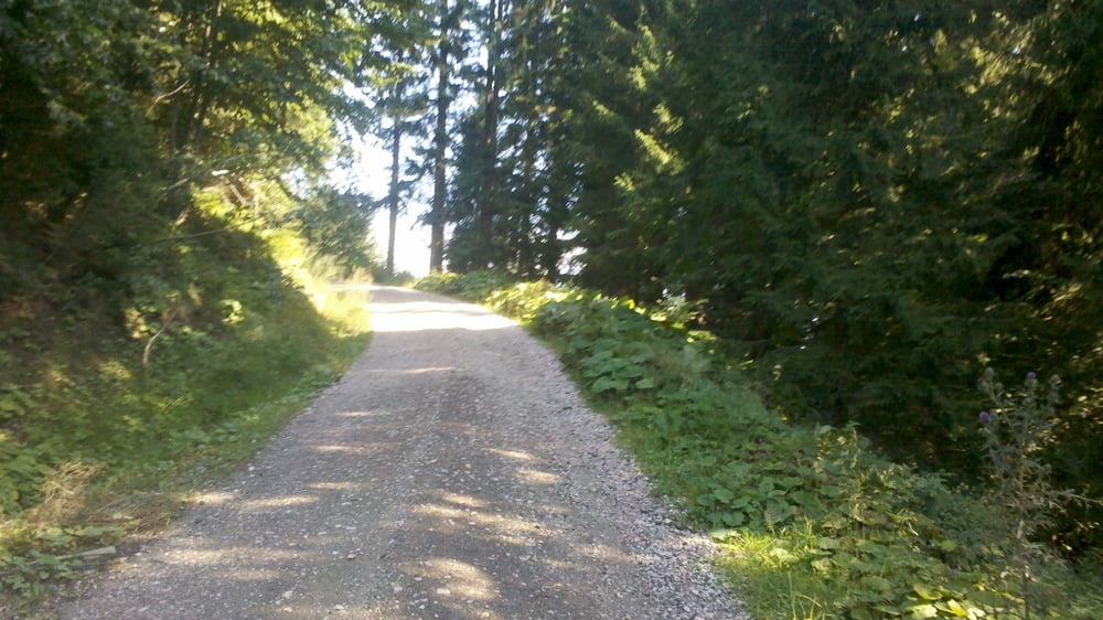
Galerie du tour


Carte du tour et altitude
Minimum height 626 m
Maximum height 1919 m
More about the tour author

|
haryl |
Commentaires

Tröpolach -> Tröpolacher Alm -> Rattendorfer Alm -> Karnischen Höhenweg -> Straniger Alm
Tracks GPS
Trackpoints-
GPX / Garmin Map Source (gpx) download
-
TCX / Garmin Training Center® (tcx) download
-
CRS / Garmin Training Center® (crs) download
-
Google Earth (kml) download
-
G7ToWin (g7t) download
-
TTQV (trk) download
-
Overlay (ovl) download
-
Fugawi (txt) download
-
Kompass (DAV) Track (tk) download
-
Feuille de tours (pdf) download
-
Original file of the author (gpx) download
More about the tour author
|
|
haryl |
Add to my favorites
Remove from my favorites
Edit tags
Open track
My score
Rate