Login

Login oublié ?

Cookies have to be accepted!
Your browser's cookie functionality is disabled. Please enable this functionality.

Not a member yet?

Register now
Login

Available for registred users only

Log in to use this feature.

Login oublié ?

Cookies have to be accepted!
Your browser's cookie functionality is disabled. Please enable this functionality.

Not a member yet?

Register now
Filter
Catégories
Advanced filters
  • Longueur (km)
  • Altimètre
Enregistrer le filtre Reset filter

TrackRank

QRCode

Technical data

Longueur18,3 km Altimètre1059 m Way down1000 m Durée08:00 h:m Date31.08.2011
Evaluations Author User Paysage Aspect amusement Condition Technique

Statistiques

2362 Vues 1 Evaluation 95 Téléchargements 5.00 Moyenne
Rate
  • Feuille de tours
  • Arrivée
  • Téléchargements
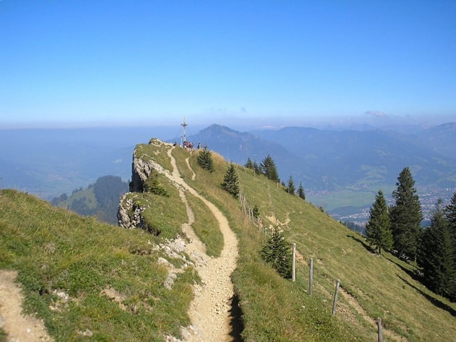
Ausgangspunkt ist Mittag Talstation. Von dort geht es weiter RIchtung Friedhof und Steigbachtal entlang.Nach ca.2.5 Std. erreicht man die Alpe Gund, dann weiter auf den Steineberg(1,5 Std)Weiter zum Bärenköpfle (1,5 St)Der Weg geht Am Kamm entlang und erfordert ein wenig Schwindelfreiheit.Dann Abstieg zur Alpe Oberberg(Einkehrmöglichkeit und eigene Käseherstellung)zum Schluß Abstieg zurück zur Mittagsbahn Talstation oder mit der Seilbahn.

Carte du tour et altitude

  • Open Street Map
  • Google
Minimum height 729 m Maximum height 1675 m Vue de détail

More about the tour author

fmayr
Member since 2011

Send private message

Commentaires

Immenstad t- Mittagsbahn

Tracks GPS

Trackpoints
  • GPX / Garmin Map Source (gpx) download
  • TCX / Garmin Training Center® (tcx) download
  • CRS / Garmin Training Center® (crs) download
  • Google Earth (kml) download
  • G7ToWin (g7t) download
  • TTQV (trk) download
  • Overlay (ovl) download
  • Fugawi (txt) download
  • Kompass (DAV) Track (tk) download
  • Feuille de tours (pdf) download
  • Original file of the author (gpx) download

More about the tour author

fmayr
Member since 2011

Send private message
Share track
Add to my favorites
Remove from my favorites
Edit tags
My score
Rate
Tour: Vom Mittag über Alpe Gund zum Steineberg
Cat.: Randonnées
Longueur: 18,3 km
Evaluated on:
Durée:
Day(s)
Hour(s)
Minute(s)
Evaluation: Paysage Aspect amusement Condition Technique