


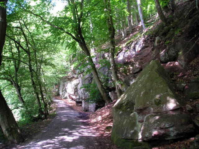
Zuerst fuhren wir (Ich und meine 9 jährige Tochter) über Heckengäu mit schönem Panoramaweg(Ausblick über Herrenberg bis Schwäbische Alb). Nach dem Ortschaft Oberjesingen fuhren wir ins Nebental Richtung Nagoldtal unterhalb der Stadt Wildberg. War eine schöne Abfahrt. Weiter an der wunderschöne fast ursprüngliche Nagoltal entlang. In die schöne Herman-Hesse-Stadt Calw hatten wir in einem Biergarten Mittag gegessen. Weiter ging über Hirsau in Richtung Pforzheim.
Unterwegs gab es einige Straßenfeste, die wir gerne aufgehalten wurden.
Für mich war es einen der schönsten Fahrradtagestour, vor allem weil das Wetter mitgemacht und angenehmen Temperatur hatte.
Unterwegs gab es einige Straßenfeste, die wir gerne aufgehalten wurden.
Für mich war es einen der schönsten Fahrradtagestour, vor allem weil das Wetter mitgemacht und angenehmen Temperatur hatte.
Further information at
http://www.fahrrad-tour.de/Nagold/Nagold.htmGalerie du tour
Carte du tour et altitude
Minimum height 263 m
Maximum height 577 m
More about the tour author

|
Bernd |
Commentaires

Wir wohnen in Stuttgart. Sind mit S-Bahn in Richtung Herrenberg gefahren und beim Haltestelle Nufringen ausgestiegen. Von dort mit dem Fahrrad losgefahren.
In Pforzheim sind wir mit dem Regionalzug zurückgefahren.
In Pforzheim sind wir mit dem Regionalzug zurückgefahren.
Tracks GPS
Trackpoints-
GPX / Garmin Map Source (gpx) download
-
TCX / Garmin Training Center® (tcx) download
-
CRS / Garmin Training Center® (crs) download
-
Google Earth (kml) download
-
G7ToWin (g7t) download
-
TTQV (trk) download
-
Overlay (ovl) download
-
Fugawi (txt) download
-
Kompass (DAV) Track (tk) download
-
Feuille de tours (pdf) download
-
Original file of the author (gpx) download
More about the tour author
|
|
Bernd |
Add to my favorites
Remove from my favorites
Edit tags
Open track
My score
Rate