

Zwischen Klausenpass über Gotthard nach Andermatt reinstes Pässeheizen, ab Gotthard reiht sich ein Pass nach dem anderen, nach Andermatt über Chur nach Altdorf kurvige, gut ausgebaute Landstrassen.
Abstecher von Chur Richtung Davos nach Graubünden empfehlenswert
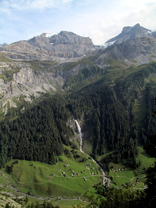
Galerie du tour


Carte du tour et altitude
Minimum height 347 m
Maximum height 2342 m
More about the tour author

|
soulridr |
Commentaires

Tag 1:
Abfahrt in Zürich Richtung Klausenpass.
1930 Übernachtung beim Grimselstausee (20km vor Andermatt)
Tag 2:
0900 Abfahrt mit Regen
1600 Ankunft Zürich nach 100km Sauwetter-Autobahn
ohne Anfahrt aus/nach Zürich ca.500km, inkl.ca700km
Tracks GPS
Trackpoints-
GPX / Garmin Map Source (gpx) download
-
TCX / Garmin Training Center® (tcx) download
-
CRS / Garmin Training Center® (crs) download
-
Google Earth (kml) download
-
G7ToWin (g7t) download
-
TTQV (trk) download
-
Overlay (ovl) download
-
Fugawi (txt) download
-
Kompass (DAV) Track (tk) download
-
Feuille de tours (pdf) download
-
Original file of the author (gpx) download
More about the tour author
|
|
soulridr |
Add to my favorites
Remove from my favorites
Edit tags
Open track
My score
Rate