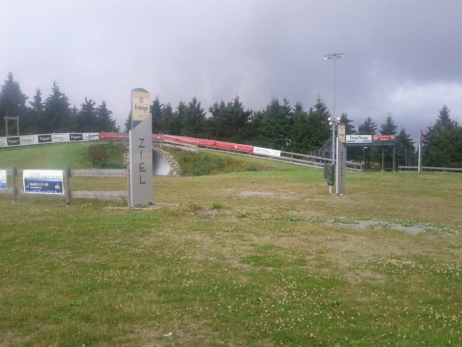
Tag 5 unser Tour von München nach Weisswasser. Heute Steinbach - Olbernau
Achtung das ist Teil 1 von diesem Teil der Tour. Mein Garmin musst ich mal reseten.. zuviel Wasser..
Grossteil heut auf der Kammtour durch das Erzgebirge
Galerie du tour
Carte du tour et altitude
Minimum height 580 m
Maximum height 1143 m
Commentaires

Tracks GPS
Trackpoints-
GPX / Garmin Map Source (gpx) download
-
TCX / Garmin Training Center® (tcx) download
-
CRS / Garmin Training Center® (crs) download
-
Google Earth (kml) download
-
G7ToWin (g7t) download
-
TTQV (trk) download
-
Overlay (ovl) download
-
Fugawi (txt) download
-
Kompass (DAV) Track (tk) download
-
Feuille de tours (pdf) download
-
Original file of the author (tcx) download
Add to my favorites
Remove from my favorites
Edit tags
Open track
My score
Rate


