


Start und Ziel des Rundkurses ist der S-Bahnhof Berlin-Blankenburg.
Wechselnder Belag: Radwege, verkehrsarme Straßen, asphaltierte Wirtschaftswege, unbefestigte Straßen.
Die Tour wurde 2010 erstellt und ist auf dem neuesten Stand. Weitere GPS-Touren im Naturpark Barnim gibt unter http://www.barnim-tourismus.de/
Viel Spass beim Radeln wünscht der naturparkbarnim
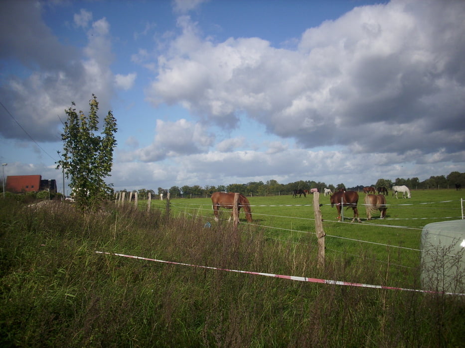
Mit der Radtour bekommt man sehr abwechslungsreiche Landschaften zu sehen. Manchmal fährt man durch urige Wälder vorbei am alten Schloss Dammsmühle. Dann fährt man wieder ein Stück Dorfstrasse vorbei an alten Bauernhöfen oder auch schönen Villen. Dann wieder vorbei an Pferdekoppeln und Schafherden. Besonderes Highlight ist das schöne Naturschutzgebiet "Tegeler Fließtal". Die Tour ist von der Länge her schon anspruchsvoll aber als schöner Familienausflug mit allerdings schon größeren Kindern sehr empfehlenswert und absolut nicht langweilig.
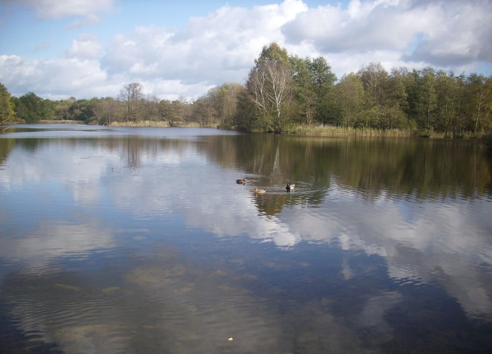
Auf dem Rundweg bekommt man diverse Seen zu Gesicht: Summter See, Mühlenbecker See, Köppchensee, Gorinsee.
Further information at
http://www.barnim-tourismus.de/Galerie du tour


Carte du tour et altitude
Minimum height 99999 m
Maximum height -99999 m
More about the tour author
|
|
naturparkbarnim |
Commentaires

Berliner S-Bahn bis Berlin-Blankenburg. Alternativ könnte man die Strecke auch vom Bahnhof Schönfließ, Buch, oder S-Bahnhof Berlin Karow beginnen.
Tracks GPS
Trackpoints-
GPX / Garmin Map Source (gpx) download
-
TCX / Garmin Training Center® (tcx) download
-
CRS / Garmin Training Center® (crs) download
-
Google Earth (kml) download
-
G7ToWin (g7t) download
-
TTQV (trk) download
-
Overlay (ovl) download
-
Fugawi (txt) download
-
Kompass (DAV) Track (tk) download
-
Feuille de tours (pdf) download
-
Original file of the author (gpx) download
More about the tour author
|
|
naturparkbarnim |
Add to my favorites
Remove from my favorites
Edit tags
Open track
My score
Rate