
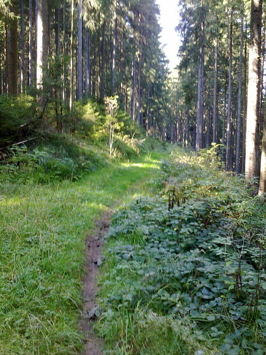

Schöne Biketour mit Trails, rund um Villingen.
Die Tour enthält von der Teerstrasse bis zum Trail alles.
Leider haben die Vollernter, zum Teil, die Trails ziemlich versaut.
Dennoch macht die Tour immer noch Spass.
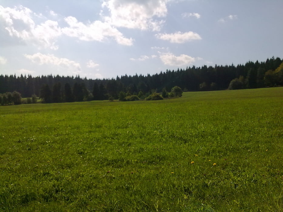
Gestartet wird in Marbach, weiter geht es über Rietheim in die Wälder von Villingen.
Im Gasthaus Auerhahn kann man eine Rast einlegen.
Danach kommt das Sahnestück, die Trails.
Viel Spass
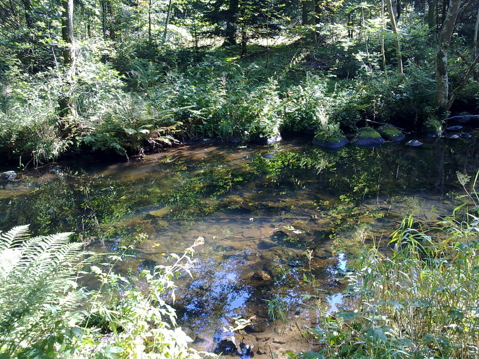
Galerie du tour


Carte du tour et altitude
Minimum height 674 m
Maximum height 940 m
More about the tour author
|
|
Tom19 |
Commentaires

siehe Daten.
Tracks GPS
Trackpoints-
GPX / Garmin Map Source (gpx) download
-
TCX / Garmin Training Center® (tcx) download
-
CRS / Garmin Training Center® (crs) download
-
Google Earth (kml) download
-
G7ToWin (g7t) download
-
TTQV (trk) download
-
Overlay (ovl) download
-
Fugawi (txt) download
-
Kompass (DAV) Track (tk) download
-
Feuille de tours (pdf) download
-
Original file of the author (gpx) download
More about the tour author
|
|
Tom19 |
Add to my favorites
Remove from my favorites
Edit tags
Open track
My score
Rate