Login

Login oublié ?

Cookies have to be accepted!
Your browser's cookie functionality is disabled. Please enable this functionality.

Not a member yet?

Register now
Login

Available for registred users only

Log in to use this feature.

Login oublié ?

Cookies have to be accepted!
Your browser's cookie functionality is disabled. Please enable this functionality.

Not a member yet?

Register now
Filter
Catégories
Advanced filters
  • Longueur (km)
  • Altimètre
Enregistrer le filtre Reset filter

TrackRank

QRCode

Technical data

Longueur6,2 km Altimètre106 m Way down87 m Durée03:10 h:m Date24.09.2011
Evaluations Author Paysage Aspect amusement Condition Technique

Statistiques

511 Vues Evaluations 46 Téléchargements Moyenne
Rate
  • Feuille de tours
  • Arrivée
  • Téléchargements

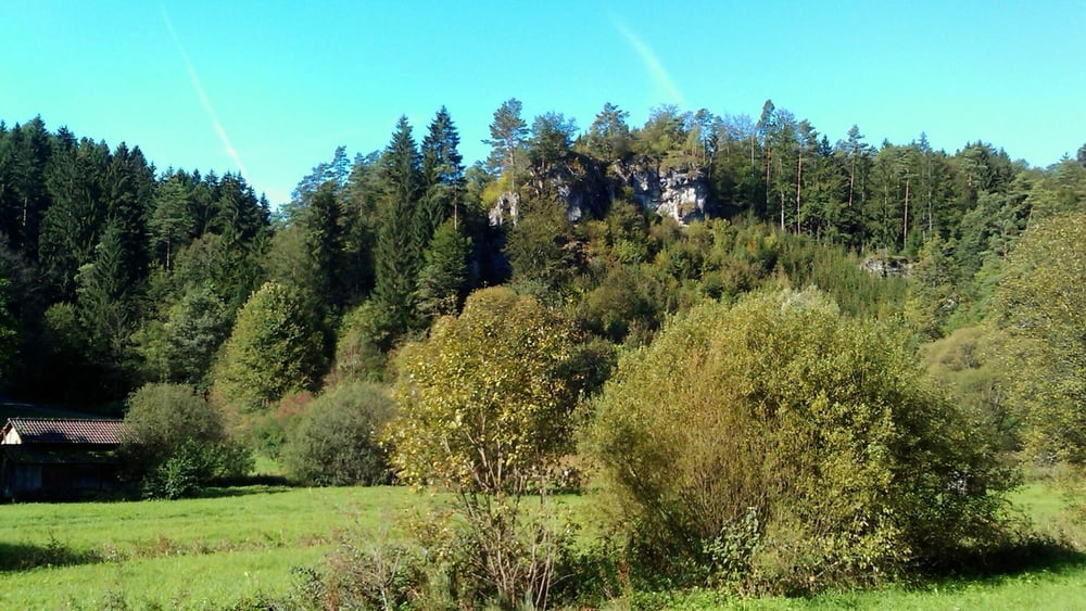
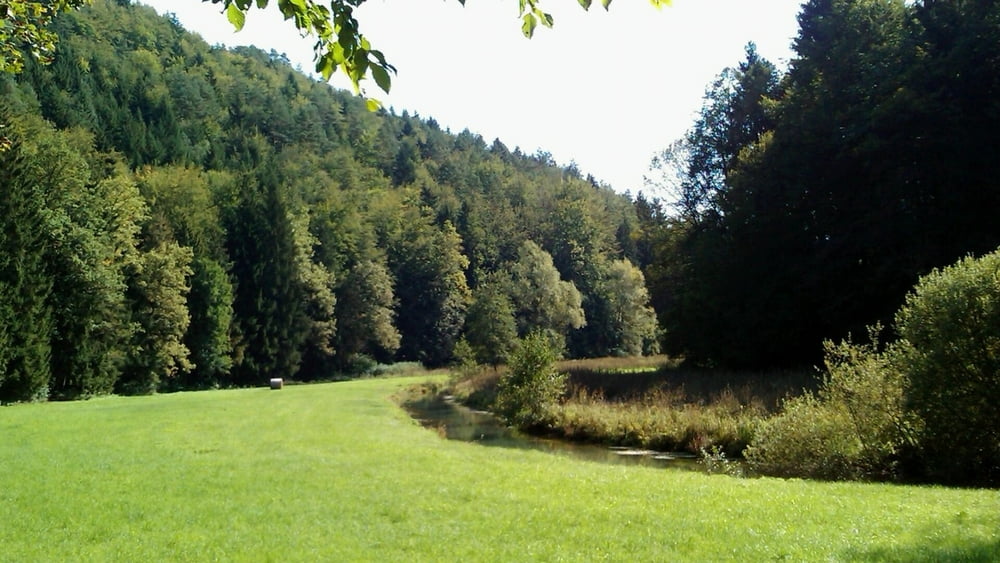
Eigentlich nur ein sehr gemütlicher Spaziergang- so richtig zum Relaxen.

Vom Parkplatz über die Straße (nach Muggendorf) zum therapeutischen Zentrum; links ins Tal.

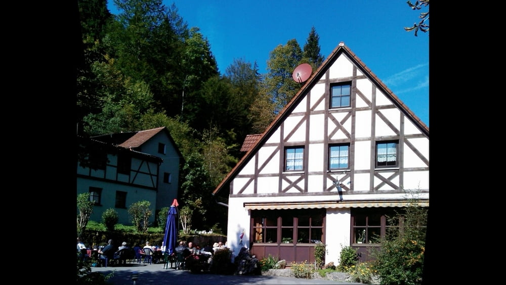
Auf gleichem Weg zurück- es lohnt sich! An der Kuchenmühle schöne Einkehr möglich!!

Entfernungsangabe/ Zeit für Hin- und Rückweg!

Galerie du tour

Carte du tour et altitude

  • Open Street Map
  • Google
Minimum height 353 m Maximum height 391 m Vue de détail

More about the tour author

heinz-57
Member since 2009

Send private message

Commentaires

Google Earth: 49.810733° / 11.295110°

Von Forchheim kommend auf der B470 über Muggendorf nach Behringersmühle, links ab Richtung Hollfeld. In Doos links am Wald Parkplatz.

Tracks GPS

Trackpoints
  • GPX / Garmin Map Source (gpx) download
  • TCX / Garmin Training Center® (tcx) download
  • CRS / Garmin Training Center® (crs) download
  • Google Earth (kml) download
  • G7ToWin (g7t) download
  • TTQV (trk) download
  • Overlay (ovl) download
  • Fugawi (txt) download
  • Kompass (DAV) Track (tk) download
  • Feuille de tours (pdf) download
  • Original file of the author (gpx) download

More about the tour author

heinz-57
Member since 2009

Send private message
Share track
Add to my favorites
Remove from my favorites
Edit tags
My score
Rate
Tour: Wandern Franken: im Aufseßtal-Spaziergang ohne Verkehr
Cat.: Randonnées
Longueur: 6,2 km
Evaluated on:
Durée:
Day(s)
Hour(s)
Minute(s)
Evaluation: Paysage Aspect amusement Condition Technique