Login

Login oublié ?

Cookies have to be accepted!
Your browser's cookie functionality is disabled. Please enable this functionality.

Not a member yet?

Register now
Login

Available for registred users only

Log in to use this feature.

Login oublié ?

Cookies have to be accepted!
Your browser's cookie functionality is disabled. Please enable this functionality.

Not a member yet?

Register now
Filter
Catégories
Advanced filters
  • Longueur (km)
  • Altimètre
Enregistrer le filtre Reset filter

TrackRank

QRCode

Technical data

Longueur11,6 km Altimètre1001 m Way down946 m Durée05:00 h:m Date25.09.2011
Evaluations Author Paysage Aspect amusement Condition Technique

Statistiques

750 Vues Evaluations 103 Téléchargements Moyenne
Rate
  • Feuille de tours
  • Arrivée
  • Téléchargements

Vom kleinen Parkplatz am Ende der Kirchstraße geht´s über Mitterleiten (Müllner-Peter-Haus!) über die Steinmoos-Alm zum Spitzinghaus (ca. 2 1/4 Std). Nach einem guten alkoholfreien Weißbier vom Traunsteiner Bräuhaus zum Durst löschen dann weiter zum Gipfel (40 Min.).

Beim Abstieg erst zurück zum Spitzinghaus, dann über die Mesner-Alm wieder runter nach Sachrang (2 1/2 Std.).
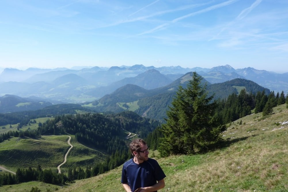
Galerie du tour

Carte du tour et altitude

  • Open Street Map
  • Google
Minimum height 578 m Maximum height 1584 m Vue de détail

More about the tour author

oidafranzl
Member since 2010

Send private message

Commentaires

Tracks GPS

Trackpoints
  • GPX / Garmin Map Source (gpx) download
  • TCX / Garmin Training Center® (tcx) download
  • CRS / Garmin Training Center® (crs) download
  • Google Earth (kml) download
  • G7ToWin (g7t) download
  • TTQV (trk) download
  • Overlay (ovl) download
  • Fugawi (txt) download
  • Kompass (DAV) Track (tk) download
  • Feuille de tours (pdf) download
  • Original file of the author (gpx) download

More about the tour author

oidafranzl
Member since 2010

Send private message
Share track
Add to my favorites
Remove from my favorites
Edit tags
My score
Rate
Tour: Von Sachrang zum Spitzstein
Cat.: Tour en montagne
Longueur: 11,6 km
Evaluated on:
Durée:
Day(s)
Hour(s)
Minute(s)
Evaluation: Paysage Aspect amusement Condition Technique