
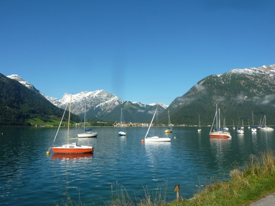

Von Maurach geht es Richtung Achenkirch direkt am Achensee entlang. In Achenkirch angekommen fährt man vom Sparmarkt Eder entlang der Dorfstrasse bis zum Restaurant SeeEck. An der Kreuzung biegt man links ab, überquert die Bundesstrasse und fährt auf dem Wanderweg entlang zum Hotel Cordial.
Von dort führt eine Forststrasse bergauf, vorbei an der Kaiser-Maximilian-Rast und über den Köglweg zur Köglalm (Route 402). Am höchsten Punkt der Strecke beginnt die Abfahrt zur Schönjochalm (1287hm) und führt weiter durch das Schönjochtal bis nach Steinberg am Rofan.
Von dort fährt man über die Landes- und Forststrasse (Route 460) zurück zum Ausgangspunkt. Diese Strecke ist auch in entgegen gesetzter Richtung empfehlenswert.
Carte du tour et altitude
Minimum height 906 m
Maximum height 1480 m
More about the tour author
|
|
Flitzer |
Commentaires

Tracks GPS
Trackpoints-
GPX / Garmin Map Source (gpx) download
-
TCX / Garmin Training Center® (tcx) download
-
CRS / Garmin Training Center® (crs) download
-
Google Earth (kml) download
-
G7ToWin (g7t) download
-
TTQV (trk) download
-
Overlay (ovl) download
-
Fugawi (txt) download
-
Kompass (DAV) Track (tk) download
-
Feuille de tours (pdf) download
-
Original file of the author (gpx) download
More about the tour author
|
|
Flitzer |
Add to my favorites
Remove from my favorites
Edit tags
Open track
My score
Rate