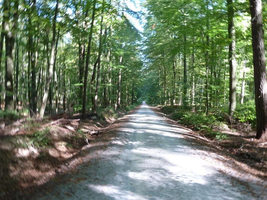
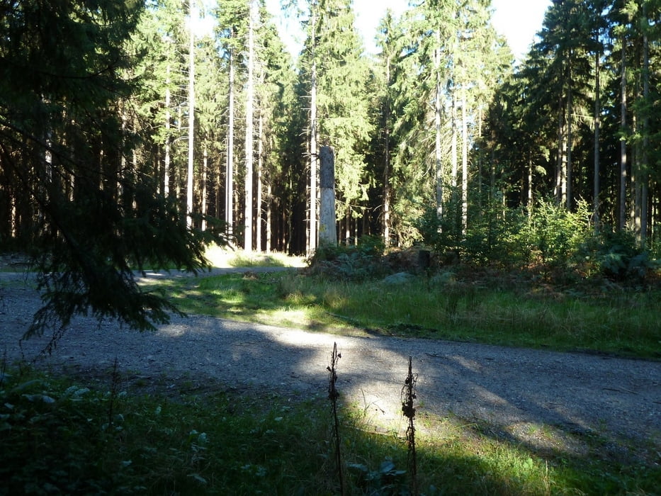
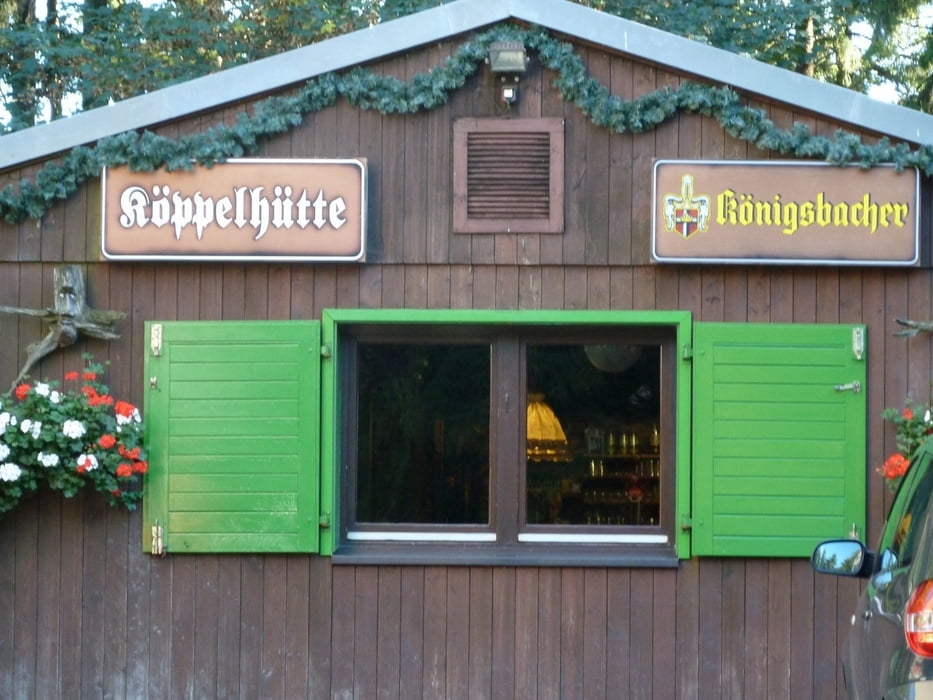
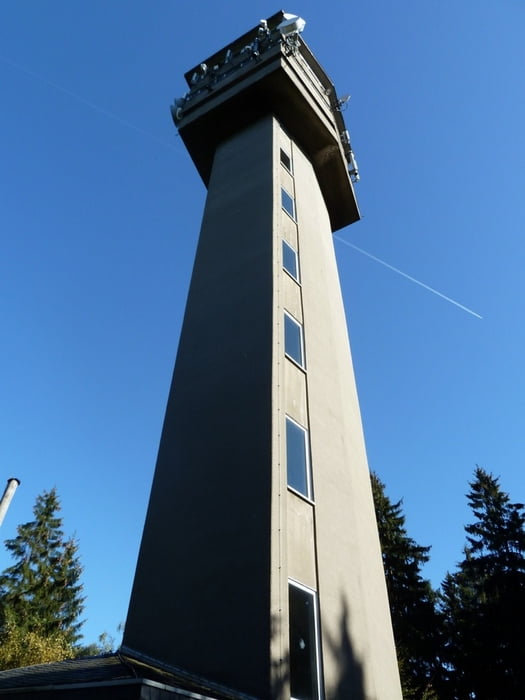
Login

Login oublié ?

Cookies have to be accepted!
Your browser's cookie functionality is disabled. Please enable this functionality.

Not a member yet?

Register now
Login

Available for registred users only

Log in to use this feature.

Login oublié ?

Cookies have to be accepted!
Your browser's cookie functionality is disabled. Please enable this functionality.

Not a member yet?

Register now
Filter
Catégories
Advanced filters
  • Longueur (km)
  • Altimètre
Enregistrer le filtre Reset filter

TrackRank

QRCode

Technical data

Longueur8,0 km Altimètre248 m Way down248 m Durée02:00 h:m Date01.10.2011
Evaluations Author User Paysage Aspect amusement Condition Technique

Statistiques

1262 Vues 1 Evaluation 34 Téléchargements 3.00 Moyenne
Rate
  • Feuille de tours
  • Arrivée
  • Téléchargements

Galerie du tour

Carte du tour et altitude

  • Open Street Map
  • Google
Minimum height 292 m Maximum height 536 m Vue de détail

More about the tour author

twrt
Member since 2009

Send private message

Commentaires

Man erreicht Horessen über die B 40 entweder von Koblenz oder von Montabauer aus. Von der A3 kommende fähr man die Ausfahrt Montabaur ab und dann auf die Bundesstraße Richtung Koblenz. Von der B49 fährt man auf die l327 Richtung Horessen ab (Niederelberter Straße).

In Horessen biegt man dann links auf die Westerwaldstraße ein. Fährt man immer gerade aus, frindet am am Ende gegenüber des Waldspielplatzes einen Wanderparkplatz. Dies ist unser Ausgangspunkt.


Tracks GPS

Trackpoints
  • GPX / Garmin Map Source (gpx) download
  • TCX / Garmin Training Center® (tcx) download
  • CRS / Garmin Training Center® (crs) download
  • Google Earth (kml) download
  • G7ToWin (g7t) download
  • TTQV (trk) download
  • Overlay (ovl) download
  • Fugawi (txt) download
  • Kompass (DAV) Track (tk) download
  • Feuille de tours (pdf) download
  • Original file of the author (gpx) download

More about the tour author

twrt
Member since 2009

Send private message
Share track
Add to my favorites
Remove from my favorites
Edit tags
My score
Rate
Tour: von Horessen zum Köppel
Cat.: Randonnées
Longueur: 8,0 km
Evaluated on:
Durée:
Day(s)
Hour(s)
Minute(s)
Evaluation: Paysage Aspect amusement Condition Technique