
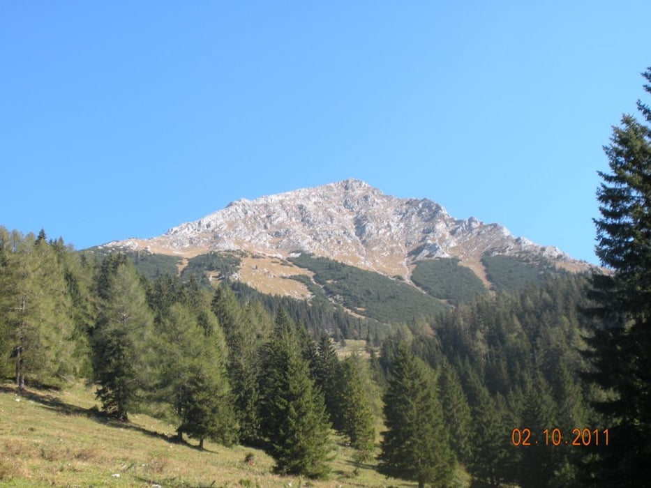

Startpunkt: Parkplatz bei der Bosruckhütte (1.036 m). Weiter auf dem Forstweg Richtung Rohrauerhaus, bei der Hiaslalm links abzweigen Richtung Hofalm. Steil hinauf auf den Hofalmsattel (1.330 m). Durch Latschen und später durch felsiges Gelände hinauf bis auf die Gipfelwiese. Mäßig steil weiter bis zum Gipfel.
Abstieg auf der gleichen Route.
Abstieg auf der gleichen Route.
Galerie du tour


Carte du tour et altitude
Minimum height 1012 m
Maximum height 2230 m
More about the tour author
|
|
Fritzl71 |
Commentaires

A9 Ausfahrt Spital am Pyhrn, durch den Ort und am Ortsende rechts abzweigen Richtung Bosruckhütte - Parkplatz bei der Hütte
Tracks GPS
Trackpoints-
GPX / Garmin Map Source (gpx) download
-
TCX / Garmin Training Center® (tcx) download
-
CRS / Garmin Training Center® (crs) download
-
Google Earth (kml) download
-
G7ToWin (g7t) download
-
TTQV (trk) download
-
Overlay (ovl) download
-
Fugawi (txt) download
-
Kompass (DAV) Track (tk) download
-
Feuille de tours (pdf) download
-
Original file of the author (gpx) download
More about the tour author
|
|
Fritzl71 |
Add to my favorites
Remove from my favorites
Edit tags
Open track
My score
Rate