Login

Login oublié ?

Cookies have to be accepted!
Your browser's cookie functionality is disabled. Please enable this functionality.

Not a member yet?

Register now
Login

Available for registred users only

Log in to use this feature.

Login oublié ?

Cookies have to be accepted!
Your browser's cookie functionality is disabled. Please enable this functionality.

Not a member yet?

Register now
Filter
Catégories
Advanced filters
  • Longueur (km)
  • Altimètre
Enregistrer le filtre Reset filter

TrackRank

QRCode

Technical data

Longueur5,7 km Altimètre299 m Way down192 m Durée06:06 h:m Date03.10.2011
Evaluations Author Paysage Aspect amusement Condition Technique

Statistiques

1085 Vues Evaluations 15 Téléchargements Moyenne
Rate
  • Feuille de tours
  • Arrivée
  • Téléchargements

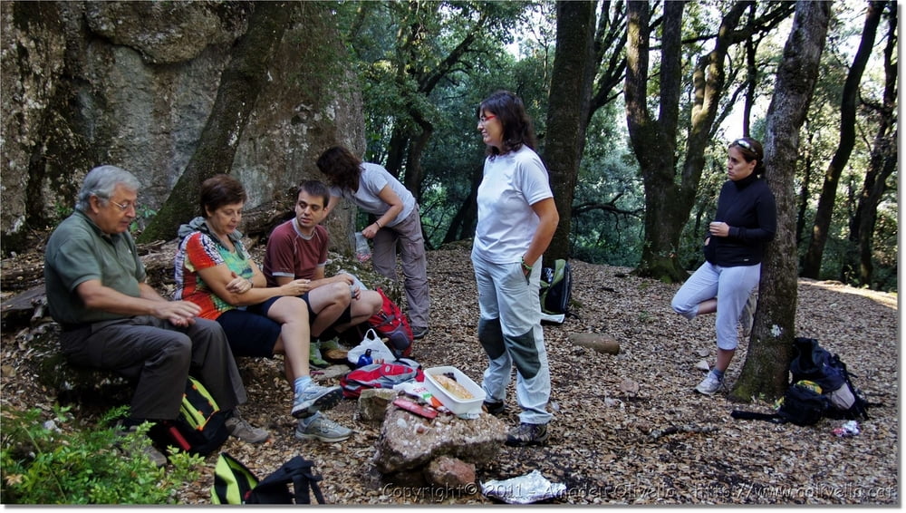
Excursió a Sant Llorenç del Munt - Pujol de la Mata - Turó de la Roureda - Pujol del Llobet - Parc Natural de Sant Llorenç del Munt - 1 d'octubre de 2011


Further information at

http://www.aolivella.cat/Muntanya/Tardor/StLlorenc_2011/index.html

Galerie du tour

Carte du tour et altitude

  • Open Street Map
  • Google
Minimum height 707 m Maximum height 825 m Vue de détail

More about the tour author

amadeu
Member since 2011

Send private message

Commentaires

Tracks GPS

Trackpoints
  • GPX / Garmin Map Source (gpx) download
  • TCX / Garmin Training Center® (tcx) download
  • CRS / Garmin Training Center® (crs) download
  • Google Earth (kml) download
  • G7ToWin (g7t) download
  • TTQV (trk) download
  • Overlay (ovl) download
  • Fugawi (txt) download
  • Kompass (DAV) Track (tk) download
  • Feuille de tours (pdf) download
  • Original file of the author (gpx) download

More about the tour author

amadeu
Member since 2011

Send private message
Share track
Add to my favorites
Remove from my favorites
Edit tags
My score
Rate
Tour: Excursió a Sant Llorenç del Munt
Cat.: Tour en montagne
Longueur: 5,7 km
Evaluated on:
Durée:
Day(s)
Hour(s)
Minute(s)
Evaluation: Paysage Aspect amusement Condition Technique