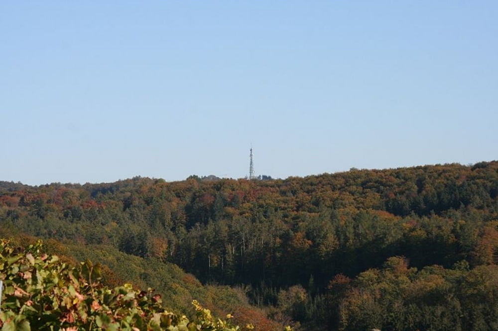
zum Juxkopf :)
Die Auffahrt lässt sich in zwei Teile untergliedern. Der erste Teil mit ca. 1,6 km Länge führt von Spielberg nach Jux. Die Fahrt dorthin ist relativ gleichmäßig mit einer maximalen Steigung von 10 %. Der zweite Teil von Jux zum Juxkopf mit seinem Aussichtsturm weist zwei extreme Steilstücke mit bis zu 18 bzw. 20 % auf. Dieser zweite Teil ist wesentlich schwieriger, zumal man im ersten Teil bereits einige Kräfte gelassen hat.
Carte du tour et altitude
Minimum height -63 m
Maximum height 272 m
Commentaires

Tracks GPS
Trackpoints-
GPX / Garmin Map Source (gpx) download
-
TCX / Garmin Training Center® (tcx) download
-
CRS / Garmin Training Center® (crs) download
-
Google Earth (kml) download
-
G7ToWin (g7t) download
-
TTQV (trk) download
-
Overlay (ovl) download
-
Fugawi (txt) download
-
Kompass (DAV) Track (tk) download
-
Feuille de tours (pdf) download
-
Original file of the author (gpx) download
Add to my favorites
Remove from my favorites
Edit tags
Open track
My score
Rate

