


Eine MTB Tour für den gehobenen Anspruch. Eine kräftezehrende Schiebe-passaage zum Monte Brento und ein verblockter Trail ins Val di Tovo fordern alles von Material und Fahrer.
Start der Tour: Via Lungo Sarca, Arco (Torbole sul Garda).
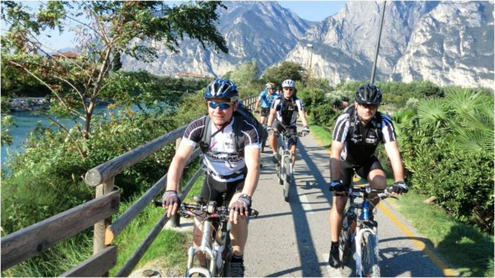
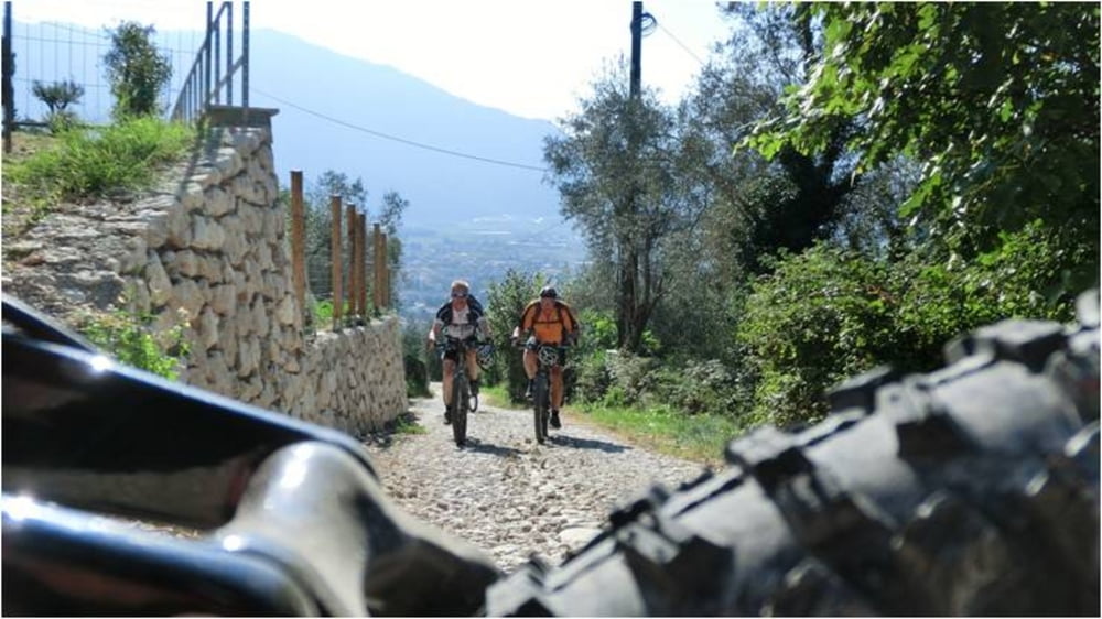
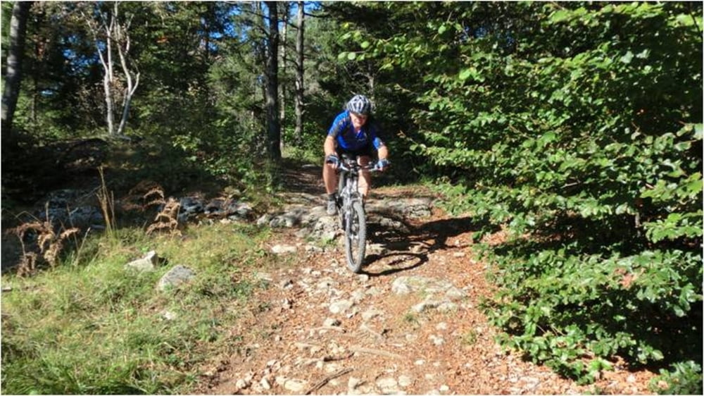
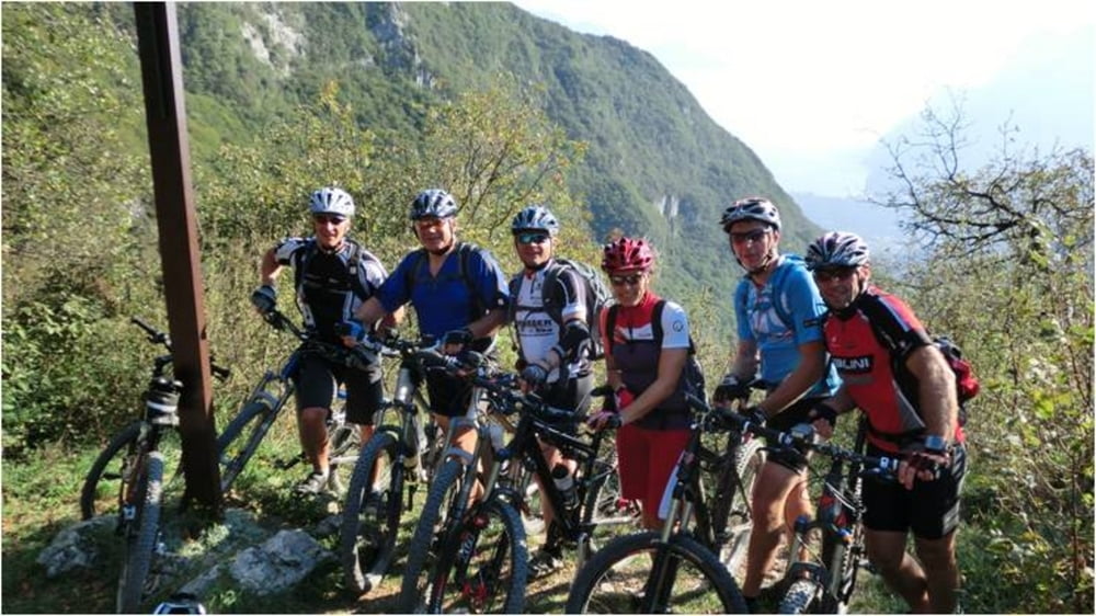
Nach gemütlichem Einrollen an der Sarca entlang geht es von Arco nach San Giovanni wo nach den ersten 1000 Hm eine ausgiebige Pause angebracht ist. Die folgenden 600 Hm zum Monte Brento sind anspruchvoller und die 15-minütige Schiebepassage fordert einiges an Kondition. Das letzte Stück zum Gipfel wird zu Fuß zurückgelegt. Der Rückweg beinhaltet viele anspruchvolle Trails und findet seinen Höhepunkt auf dem Trail ins Val di Tovo. Dieser verblockte und ausgesetzte Trail sollte nur von erfahrenen Bikern gefahren werden.
Start der Tour: Via Lungo Sarca, Arco (Torbole sul Garda).
Nach gemütlichem Einrollen an der Sarca entlang geht es von Arco nach San Giovanni wo nach den ersten 1000 Hm eine ausgiebige Pause angebracht ist. Die folgenden 600 Hm zum Monte Brento sind anspruchvoller und die 15-minütige Schiebepassage fordert einiges an Kondition. Das letzte Stück zum Gipfel wird zu Fuß zurückgelegt. Der Rückweg beinhaltet viele anspruchvolle Trails und findet seinen Höhepunkt auf dem Trail ins Val di Tovo. Dieser verblockte und ausgesetzte Trail sollte nur von erfahrenen Bikern gefahren werden.
Further information at
http://www.Schliesser-Bike.deGalerie du tour
Carte du tour et altitude
Minimum height 71 m
Maximum height 1581 m
More about the tour author
|
|
mtb-tom |
Commentaires

Start der Tour: Via Lungo Sarca, Arco (Torbole sul Garda).
Tracks GPS
Trackpoints-
GPX / Garmin Map Source (gpx) download
-
TCX / Garmin Training Center® (tcx) download
-
CRS / Garmin Training Center® (crs) download
-
Google Earth (kml) download
-
G7ToWin (g7t) download
-
TTQV (trk) download
-
Overlay (ovl) download
-
Fugawi (txt) download
-
Kompass (DAV) Track (tk) download
-
Feuille de tours (pdf) download
-
Original file of the author (gpx) download
More about the tour author
|
|
mtb-tom |
Add to my favorites
Remove from my favorites
Edit tags
Open track
My score
Rate