Login

Login oublié ?

Cookies have to be accepted!
Your browser's cookie functionality is disabled. Please enable this functionality.

Not a member yet?

Register now
Login

Available for registred users only

Log in to use this feature.

Login oublié ?

Cookies have to be accepted!
Your browser's cookie functionality is disabled. Please enable this functionality.

Not a member yet?

Register now
Filter
Catégories
Advanced filters
  • Longueur (km)
  • Altimètre
Enregistrer le filtre Reset filter

TrackRank

QRCode

Technical data

Longueur7,3 km Altimètre253 m Way down214 m Durée01:45 h:m Date17.10.2011
Evaluations Author Paysage Aspect amusement Condition Technique

Statistiques

5740 Vues Evaluations 111 Téléchargements Moyenne
Rate
  • Feuille de tours
  • Arrivée
  • Téléchargements

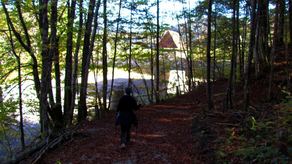
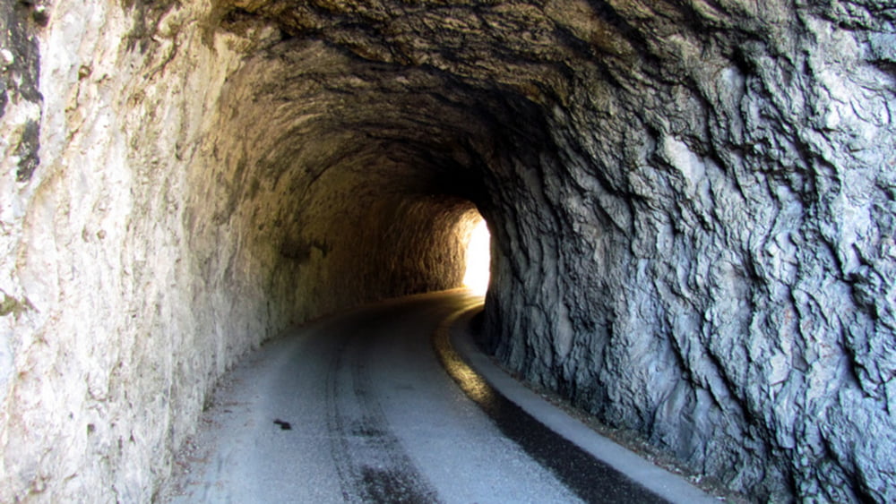
Nette 2 Stundenwanderung mit schönen Ausblicken in die Strubklamm und auf den Wiestalstausee. Im Sommer kann man am Anfang oder am Ende der Wanderung ein kühles Bad am Ausgang der Strubklamm nehmen.


Die Wanderung wurde mit dem Garmin etrex 30  aufgenommen.

Further information at

http://www.satcom.at/wanderungen/

Galerie du tour

Carte du tour et altitude

  • Open Street Map
  • Google
Minimum height 526 m Maximum height 753 m Vue de détail

More about the tour author

GarminSalzburg
Member since 2008

Send private message

Commentaires

Anfahrt von Hallein oder Ebenau aus möglich. Parkplätze an der Wiestal Landesstrasse sind vorhanden.

Tracks GPS

Trackpoints
  • GPX / Garmin Map Source (gpx) download
  • TCX / Garmin Training Center® (tcx) download
  • CRS / Garmin Training Center® (crs) download
  • Google Earth (kml) download
  • G7ToWin (g7t) download
  • TTQV (trk) download
  • Overlay (ovl) download
  • Fugawi (txt) download
  • Kompass (DAV) Track (tk) download
  • Feuille de tours (pdf) download
  • Original file of the author (gpx) download

More about the tour author

GarminSalzburg
Member since 2008

Send private message
Share track
Add to my favorites
Remove from my favorites
Edit tags
My score
Rate
Tour: Metzgersteig - Strubklamm
Cat.: Randonnées
Longueur: 7,3 km
Evaluated on:
Durée:
Day(s)
Hour(s)
Minute(s)
Evaluation: Paysage Aspect amusement Condition Technique