Login

Login oublié ?

Cookies have to be accepted!
Your browser's cookie functionality is disabled. Please enable this functionality.

Not a member yet?

Register now
Login

Available for registred users only

Log in to use this feature.

Login oublié ?

Cookies have to be accepted!
Your browser's cookie functionality is disabled. Please enable this functionality.

Not a member yet?

Register now
Filter
Catégories
Advanced filters
  • Longueur (km)
  • Altimètre
Enregistrer le filtre Reset filter

TrackRank

QRCode

Technical data

Longueur64,2 km Altimètre411 m Way down493 m Durée07:00 h:m Date17.10.2011
Evaluations Author Paysage Aspect amusement Condition Technique

Statistiques

518 Vues Evaluations 53 Téléchargements Moyenne
Rate
  • Feuille de tours
  • Arrivée
  • Téléchargements
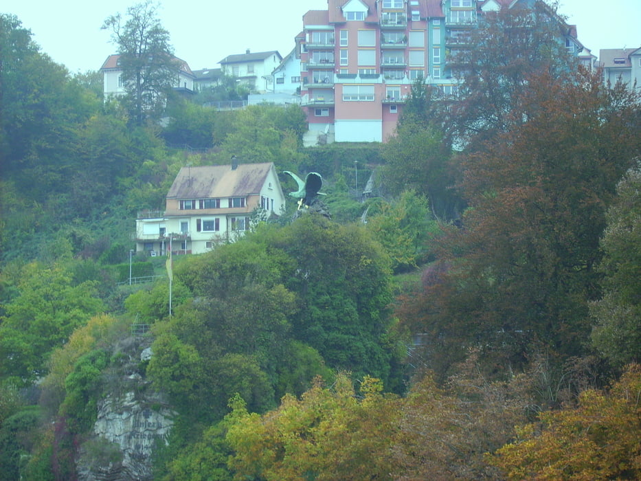
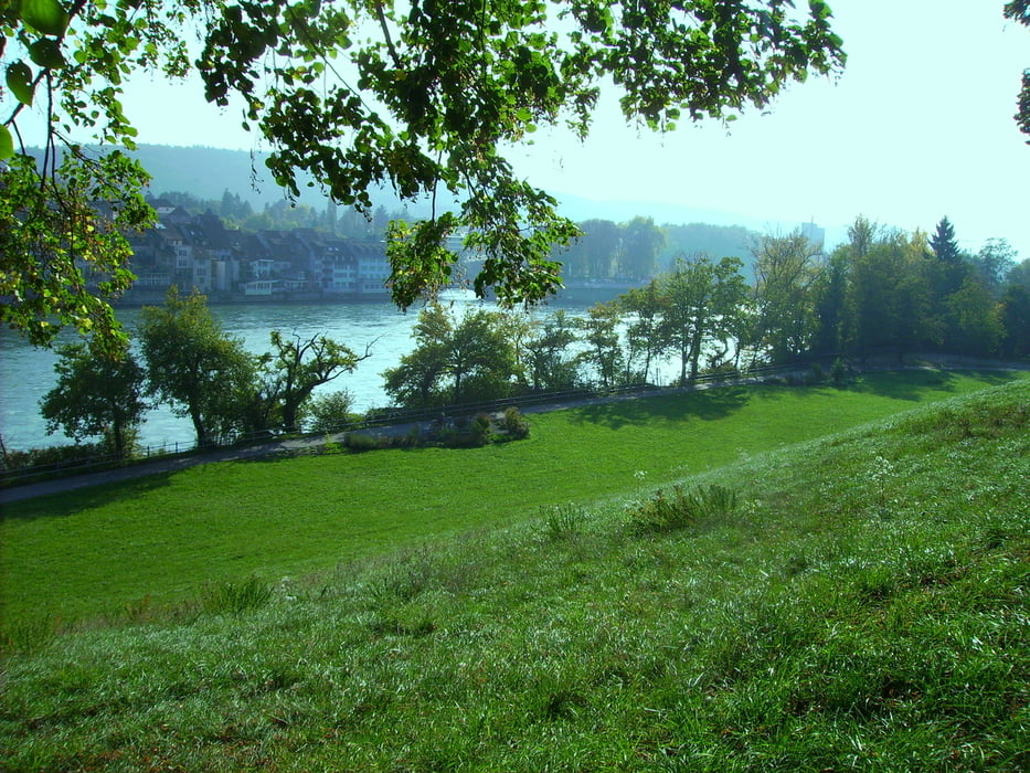
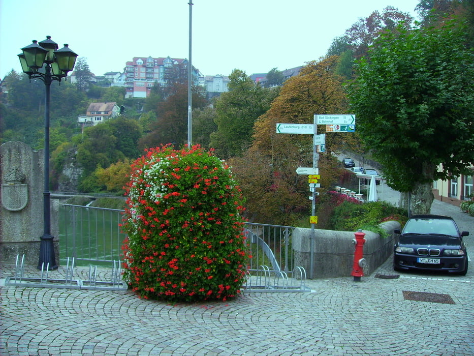
Die Tour geht entlang des Oberrheines und ist überwiegend Asphaltiert. Sie geht durch abwechslungsreiche Landschaften und herzlichen Ausblicken. Allerdings auch vorbei an einem Schweizer Kernkraftwerk.

Galerie du tour

Carte du tour et altitude

  • Open Street Map
  • Google
Minimum height 254 m Maximum height 349 m Vue de détail

More about the tour author

octopusmo
Member since 2009

Send private message

Commentaires

Tracks GPS

Trackpoints
  • GPX / Garmin Map Source (gpx) download
  • TCX / Garmin Training Center® (tcx) download
  • CRS / Garmin Training Center® (crs) download
  • Google Earth (kml) download
  • G7ToWin (g7t) download
  • TTQV (trk) download
  • Overlay (ovl) download
  • Fugawi (txt) download
  • Kompass (DAV) Track (tk) download
  • Feuille de tours (pdf) download
  • Original file of the author (gpx) download

More about the tour author

octopusmo
Member since 2009

Send private message
Share track
Add to my favorites
Remove from my favorites
Edit tags
My score
Rate
Tour: Rheintalradweg Oberrhein Waldshut - Basel
Cat.: Trekkingbike
Longueur: 64,2 km
Evaluated on:
Durée:
Day(s)
Hour(s)
Minute(s)
Evaluation: Paysage Aspect amusement Condition Technique