Login

Login oublié ?

Cookies have to be accepted!
Your browser's cookie functionality is disabled. Please enable this functionality.

Not a member yet?

Register now
Login

Available for registred users only

Log in to use this feature.

Login oublié ?

Cookies have to be accepted!
Your browser's cookie functionality is disabled. Please enable this functionality.

Not a member yet?

Register now
Filter
Catégories
Advanced filters
  • Longueur (km)
  • Altimètre
Enregistrer le filtre Reset filter

TrackRank

QRCode

Technical data

Longueur71,0 km Altimètre723 m Way down865 m Durée00:00 h:m Date19.10.2011
Evaluations Author Paysage Aspect amusement Condition Technique

Statistiques

736 Vues Evaluations 44 Téléchargements Moyenne
Rate
  • Feuille de tours
  • Arrivée
  • Téléchargements

Geplant war ein leichterer Alpencross nach Riva der aber auch einige Schotterpassagen haben sollte.

Bedingt durch Dauerregen bis zum Startermin, einer Defektserie und ab dem Brenner Temperaturen von bis zu 42° sind wir überwiegen auf Asphalt gefahren.

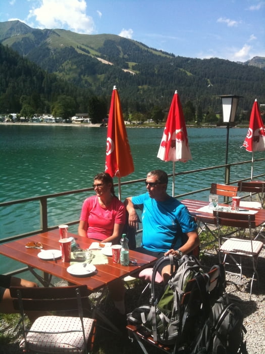
Wir Gudrun, Jutta, Christof und ich hatten trotzdem eine schöne Tour die nicht allzu anstrengend war.

Tag 1 von Fall nach Wattens

Galerie du tour

Carte du tour et altitude

  • Open Street Map
  • Google
Minimum height 523 m Maximum height 962 m Vue de détail

More about the tour author

Dyroff
Member since 2007

Send private message

Commentaires

Tracks GPS

Trackpoints
  • GPX / Garmin Map Source (gpx) download
  • TCX / Garmin Training Center® (tcx) download
  • CRS / Garmin Training Center® (crs) download
  • Google Earth (kml) download
  • G7ToWin (g7t) download
  • TTQV (trk) download
  • Overlay (ovl) download
  • Fugawi (txt) download
  • Kompass (DAV) Track (tk) download
  • Feuille de tours (pdf) download
  • Original file of the author (gpx) download

More about the tour author

Dyroff
Member since 2007

Send private message
Share track
Add to my favorites
Remove from my favorites
Edit tags
My score
Rate
Tour: Leichter Alpencross vom Sylvenstein nach Riva
Cat.: Mountainbike
Longueur: 71,0 km
Evaluated on:
Durée:
Day(s)
Hour(s)
Minute(s)
Evaluation: Paysage Aspect amusement Condition Technique