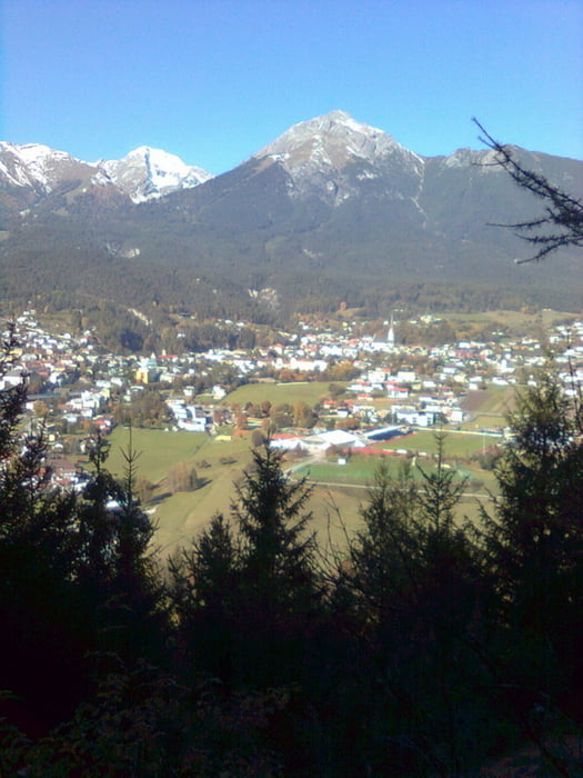
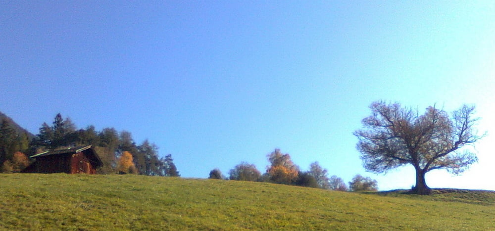
Einfache Wanderung auf Forstwegen und Waldwegen.
Am Fuße des Tschirgants beim Bigerbach geht es los. Durch den Wald leicht ansteigend bis zu den Wiesen von Karrösten. In den Ort hinein bis zum Gemeindeamt. Richtung Imst/Brennbichl zuerst auf einem Wiesensteig hinein in den Wald zum Kriegerdenkmal. Nun auf dem Forstweg zurück zum Ausgangspunkt.
Galerie du tour
Carte du tour et altitude
Minimum height 745 m
Maximum height 954 m
Commentaires

Tracks GPS
Trackpoints-
GPX / Garmin Map Source (gpx) download
-
TCX / Garmin Training Center® (tcx) download
-
CRS / Garmin Training Center® (crs) download
-
Google Earth (kml) download
-
G7ToWin (g7t) download
-
TTQV (trk) download
-
Overlay (ovl) download
-
Fugawi (txt) download
-
Kompass (DAV) Track (tk) download
-
Feuille de tours (pdf) download
-
Original file of the author (gpx) download
Add to my favorites
Remove from my favorites
Edit tags
Open track
My score
Rate


