

Vom Parkplatz am Oberen Tor durch die Altstadt in Münnerstadt zumn Jörgen Tor hier biegen wir in die Friedhofsstr ein und halten uns Links. Beim Schützenhaus begint der Wiesenwanderweg Der Weg führt uns über Althausen, Brünn, Wanningsmühle nach Kleinwenkheim. Hier überqueren wir die Straße und laufen die Straße nach Fridritt entlang. Hier gehen wir an der Kirche entlag auf der Straße nach Münnerstadt bis ein Feldweg zum .Waldrandhochführt. Hier gehen wir durch den Wald nach Althaus und folgen den Wiesenweg nach Münnerstadt.
Rundweg 3 bis Kleinwenkheim folgen.
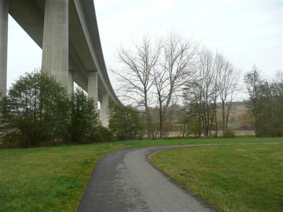
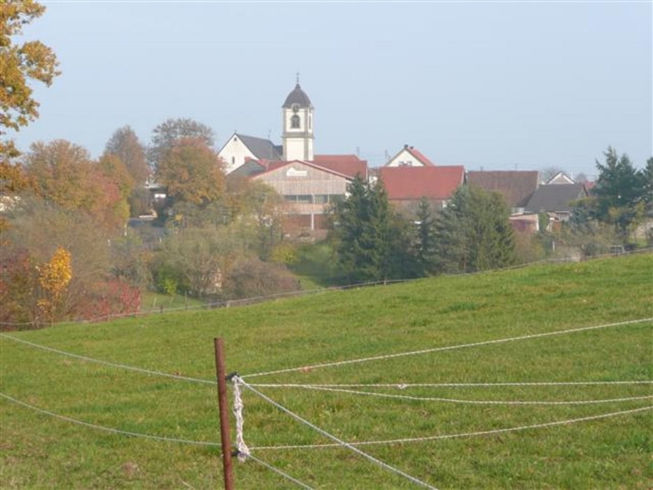
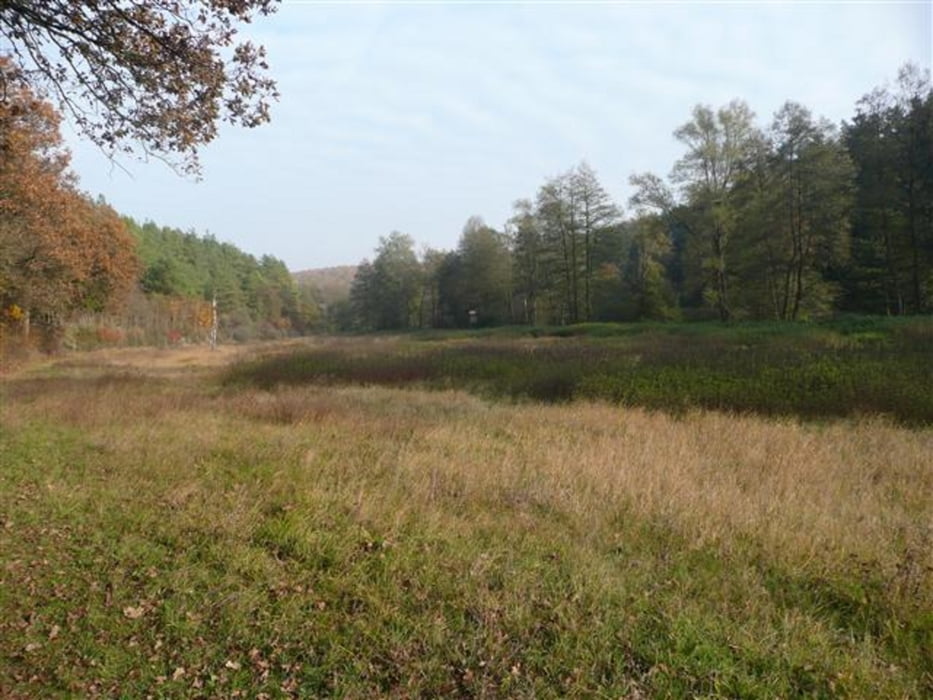
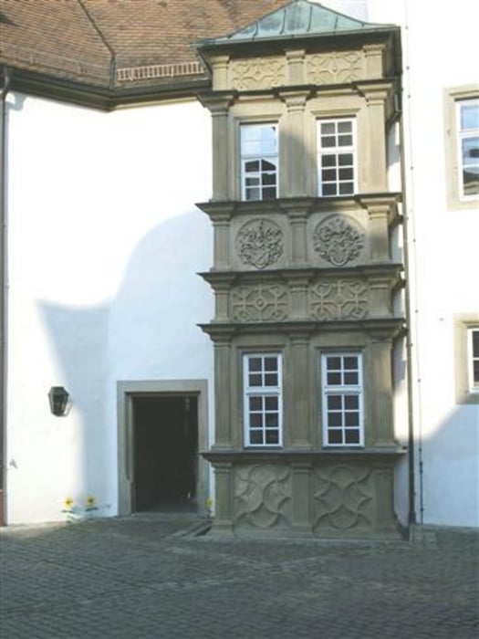
Galerie du tour

Carte du tour et altitude
Minimum height 222 m
Maximum height 340 m
More about the tour author
|
|
maffy |
Commentaires

Tracks GPS
Trackpoints-
GPX / Garmin Map Source (gpx) download
-
TCX / Garmin Training Center® (tcx) download
-
CRS / Garmin Training Center® (crs) download
-
Google Earth (kml) download
-
G7ToWin (g7t) download
-
TTQV (trk) download
-
Overlay (ovl) download
-
Fugawi (txt) download
-
Kompass (DAV) Track (tk) download
-
Feuille de tours (pdf) download
-
Original file of the author (gpx) download
More about the tour author
|
|
maffy |
Add to my favorites
Remove from my favorites
Edit tags
Open track
My score
Rate