


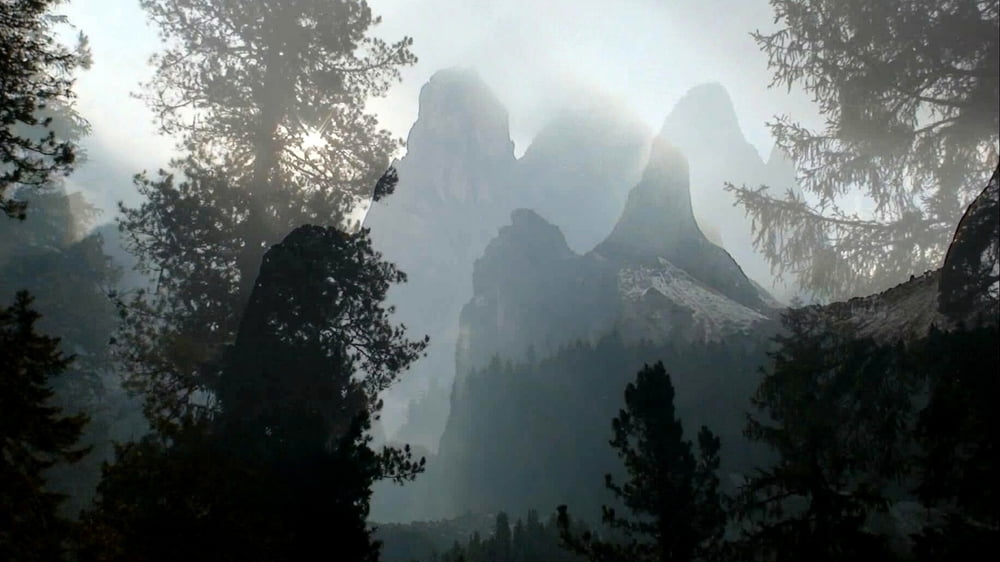
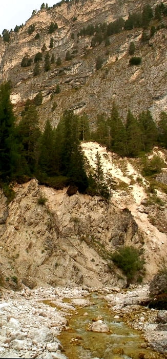
Auf der Heimfahrt vom "Rosengarten" bleibt bei herrlichem Spät- Oktober- Wetter noch Zeit für einen Abstecher ins (mir bis dato nicht bekanntem) Tschamintal. Ein herrliches enges Tal erwartet uns! Die Grasleitenhütte ist schon geschlossen- also auf gleichem Wege zurück.
Anm.: Die Strecke bezieht sich auf den Aufstieg, die Zeit auf Auf- und Abstieg
Galerie du tour


Carte du tour et altitude
Minimum height 1205 m
Maximum height 2111 m
More about the tour author
|
|
heinz-57 |
Commentaires

Google Earth: N 46.478510° / E 11.558870°
Vom "Rosengarten"/ Nigerpass kommend nach St. Zyprian/ Cipriano, dort rechts ab über Weisslahnbad zum Parkplatz
Tracks GPS
Trackpoints-
GPX / Garmin Map Source (gpx) download
-
TCX / Garmin Training Center® (tcx) download
-
CRS / Garmin Training Center® (crs) download
-
Google Earth (kml) download
-
G7ToWin (g7t) download
-
TTQV (trk) download
-
Overlay (ovl) download
-
Fugawi (txt) download
-
Kompass (DAV) Track (tk) download
-
Feuille de tours (pdf) download
-
Original file of the author (gpx) download
More about the tour author
|
|
heinz-57 |
Add to my favorites
Remove from my favorites
Edit tags
Open track
My score
Rate