


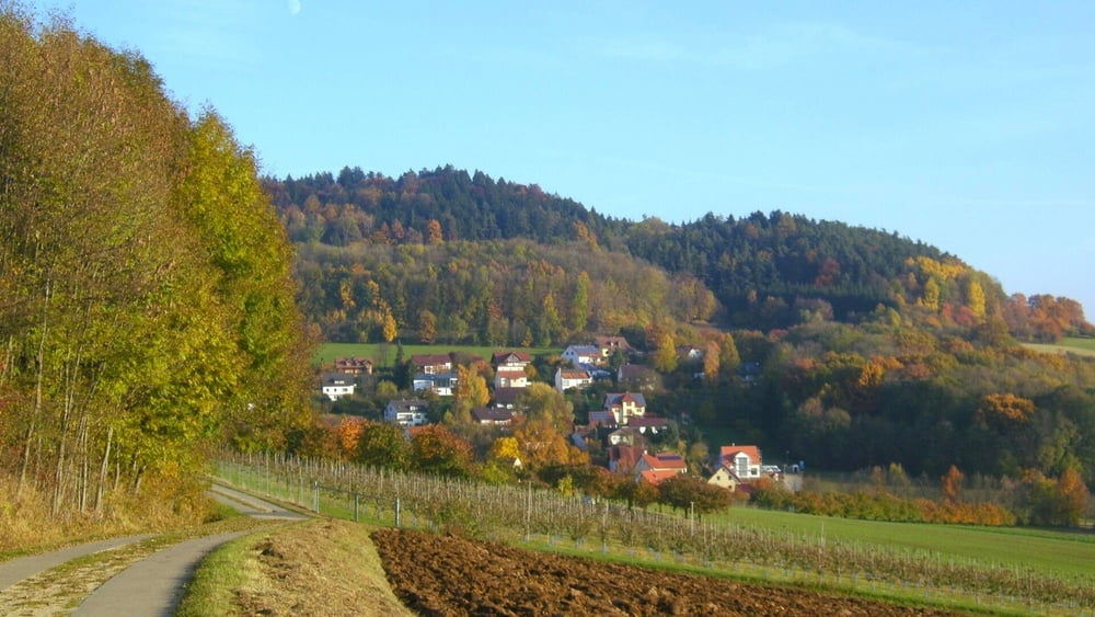
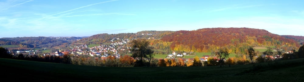
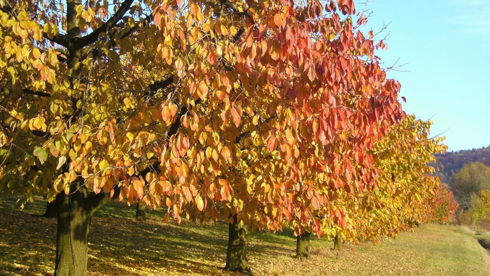
Vom Parkplatz auf Teerweg aufwärts zu Waldspitze, links ab durch Kirschgarten. Nach rechts und gleich links auf Höhenweg (blaue Raute) weiter mit herrlicher Aussicht. An Querweg rechts, gleich links (ohne Markierung) längere Zeit durch Wald leicht ansteigend (mit schöner Aussicht zwischendurch nach Weisenohe und Gräfenberg). Dann am sonnigen (wenn man nicht zu spät dran ist) Waldrand weiter. An Linkskurve geradeaus auf Waldweg aufwärts, an Fahrweg rechts und auf diesem Weg (später "Frankenweg") zu Querweg; links ab zu Sträßchen, rechts nach Oberrüsselbach. Gleich nach Einbiegung kann man einen urigen Pfad abwärts zur Rüsselbach- Quelle nehmen. Es geht zurück und auf dem Sträßchen durch Oberrüsselbach ins direkt anschließende Kirchrüsselbach. An der Kirche rechts, Brücke über den Bach und links ab zurück auf fast ebenem "Kirschgarten- Weg" zum Ausgangspunkt.
Galerie du tour


Carte du tour et altitude
Minimum height 341 m
Maximum height 510 m
More about the tour author
|
|
heinz-57 |
Commentaires

Google Earth: N 49.615685° / E 11.233686°
Von Nürnberg/ Forth auf der B2 nach Igensdorf; kurz vor Ortsbeginn rechts Parkplatz
Tracks GPS
Trackpoints-
GPX / Garmin Map Source (gpx) download
-
TCX / Garmin Training Center® (tcx) download
-
CRS / Garmin Training Center® (crs) download
-
Google Earth (kml) download
-
G7ToWin (g7t) download
-
TTQV (trk) download
-
Overlay (ovl) download
-
Fugawi (txt) download
-
Kompass (DAV) Track (tk) download
-
Feuille de tours (pdf) download
-
Original file of the author (gpx) download
More about the tour author
|
|
heinz-57 |
Add to my favorites
Remove from my favorites
Edit tags
Open track
My score
Rate