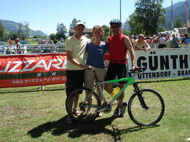
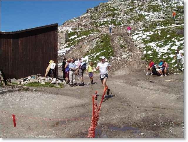
Die heurige Laufstrecke musste Aufgrund von Bauarbeiten auf die Strecke "Tauernmoos" ausweichen. Die Berglaufstrecke war 7,64 km lang und hatte 830 m Höhenunterschied (Höhenmeter 1066). Sie führte über teils sehr schwieriges Gelände und war zusätzlich noch mit Schnee bedeckt, den die Bergrettung unter Franz Waltl vorzüglich beseitigt hat. Die schnellsten Bergläufer auf der selektiven Strecke waren Mandl Alfred in 54.09,03 sowie Gassner Christina in 1.13.05,32
Gratulation!!!
Gratulation!!!
Further information at
http://www.toprace.atGalerie du tour
Carte du tour et altitude
Minimum height 1487 m
Maximum height 2359 m
Commentaires

Tracks GPS
Trackpoints-
GPX / Garmin Map Source (gpx) download
-
TCX / Garmin Training Center® (tcx) download
-
CRS / Garmin Training Center® (crs) download
-
Google Earth (kml) download
-
G7ToWin (g7t) download
-
TTQV (trk) download
-
Overlay (ovl) download
-
Fugawi (txt) download
-
Kompass (DAV) Track (tk) download
-
Feuille de tours (pdf) download
-
Original file of the author (gpx) download
Add to my favorites
Remove from my favorites
Edit tags
Open track
My score
Rate


