


Vom Parkplatz auf Teerweg zur Waldspitze, fast eben dahin durch Kirschgärten bis Kirchrüsselbach; kurz vor dem Ort rechts ab, über Straße und links haltend durch Wohngebiet. Am Ende rechts weiter über Flur nach Ödhof. Kurz vor den Häusern über Wiesenweg nach rechts, auf Verbindungsstraße nach Benzendorf. Kurz vor dem Ort links ab, gleich wieder rechts, dann überqueren wir die Straße nach links. Auf Feldweg weiter bis kurz vor Segelfluggelände, rechts und später links nach Unterrüsselbach. Auf Forther Straße rechts zur Ortsmitte, kurz nach links und gleich rechts aufwärts zu dem Weg, auf dem wir herwärts gekommen sind. Links zum Parkplatz zurück.
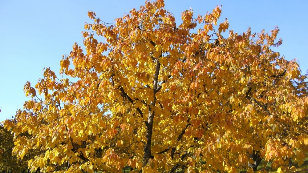
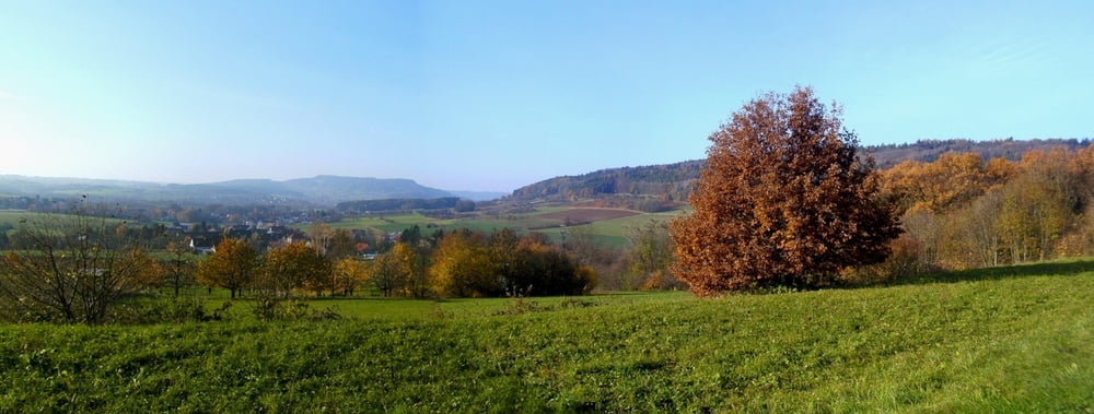
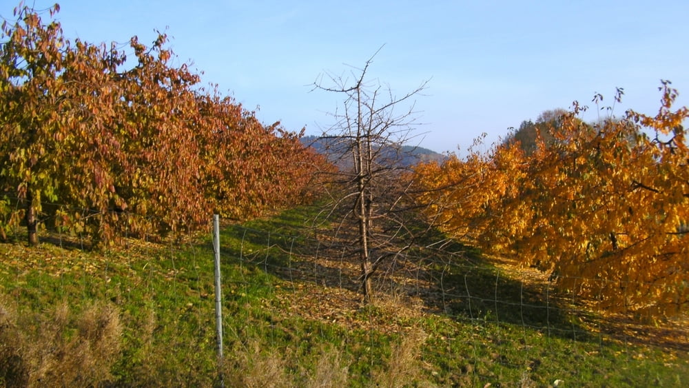
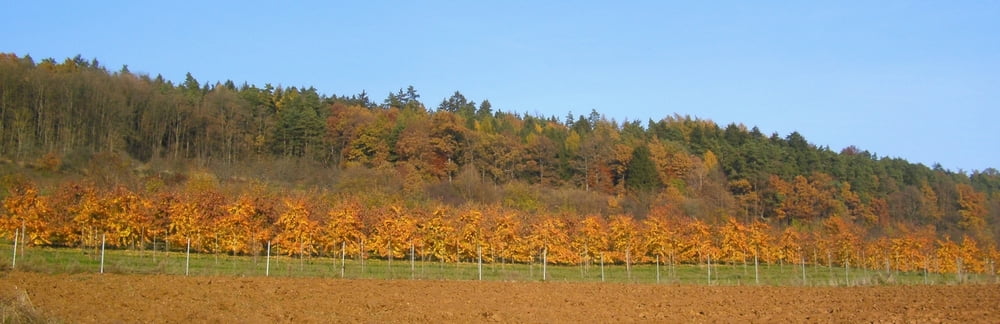
Galerie du tour
Carte du tour et altitude
Minimum height 341 m
Maximum height 421 m
More about the tour author
|
|
heinz-57 |
Commentaires

Google Earth: N 49.615685° / E 11.233686°
Von Nürnberg/ Forth auf der B2 nach Igensdorf; kurz vor Ortsbeginn rechts Parkplatz
Tracks GPS
Trackpoints-
GPX / Garmin Map Source (gpx) download
-
TCX / Garmin Training Center® (tcx) download
-
CRS / Garmin Training Center® (crs) download
-
Google Earth (kml) download
-
G7ToWin (g7t) download
-
TTQV (trk) download
-
Overlay (ovl) download
-
Fugawi (txt) download
-
Kompass (DAV) Track (tk) download
-
Feuille de tours (pdf) download
-
Original file of the author (gpx) download
More about the tour author
|
|
heinz-57 |
Add to my favorites
Remove from my favorites
Edit tags
Open track
My score
Rate