
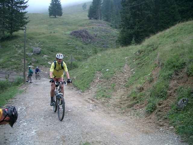

Tour mit Start in Tettnang übers Argental ins Laiblachtal zum Pfänder. Von Jungholz gehts nun auf Schotterwegen zum Wirtatobel. Über Langen, Doren auf der Bregenzerwälderstrasse kommen wir nach Krumbach.
Richtung Riefensberg erst auf Asphalt, später auf Schotter gehts nun (mit kurzen Schiebepassagen) zum "Steinernen Tor".
Hier haben wir ein Schönes Panorama Richtung Häderich und Nagelfluhkette. Abfahrt zur Moosalpe zum Imberg und Tagesziel Alpe Vordere Fluh.
Rückfahrt mit Tour 9656
Richtung Riefensberg erst auf Asphalt, später auf Schotter gehts nun (mit kurzen Schiebepassagen) zum "Steinernen Tor".
Hier haben wir ein Schönes Panorama Richtung Häderich und Nagelfluhkette. Abfahrt zur Moosalpe zum Imberg und Tagesziel Alpe Vordere Fluh.
Rückfahrt mit Tour 9656
Galerie du tour

Carte du tour et altitude
Minimum height 426 m
Maximum height 1279 m
More about the tour author
|
|
Bockrider |
Commentaires

Start in Tettnang (8 km vom Bodensee) beim Wohnmobilstellplatz
Tracks GPS
Trackpoints-
GPX / Garmin Map Source (gpx) download
-
TCX / Garmin Training Center® (tcx) download
-
CRS / Garmin Training Center® (crs) download
-
Google Earth (kml) download
-
G7ToWin (g7t) download
-
TTQV (trk) download
-
Overlay (ovl) download
-
Fugawi (txt) download
-
Kompass (DAV) Track (tk) download
-
Feuille de tours (pdf) download
-
Original file of the author (gpx) download
More about the tour author
|
|
Bockrider |
Add to my favorites
Remove from my favorites
Edit tags
Open track
My score
Rate