Galerie du tour
Carte du tour et altitude
Minimum height 36 m
Maximum height 129 m
Commentaires
Tracks GPS
Trackpoints-
GPX / Garmin Map Source (gpx) download
-
TCX / Garmin Training Center® (tcx) download
-
CRS / Garmin Training Center® (crs) download
-
Google Earth (kml) download
-
G7ToWin (g7t) download
-
TTQV (trk) download
-
Overlay (ovl) download
-
Fugawi (txt) download
-
Kompass (DAV) Track (tk) download
-
Feuille de tours (pdf) download
-
Original file of the author (gpx) download
Add to my favorites
Remove from my favorites
Edit tags
Open track
My score
Rate

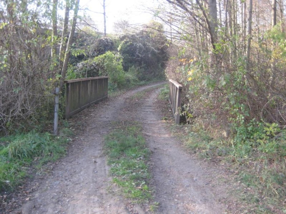
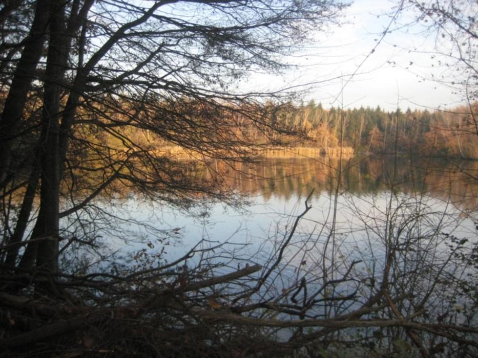
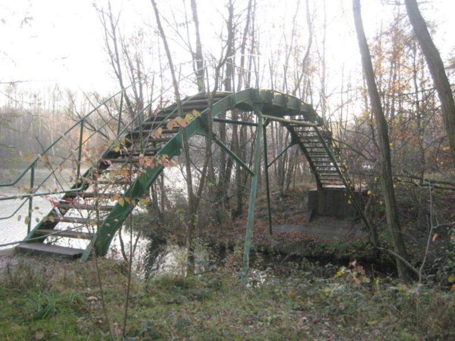
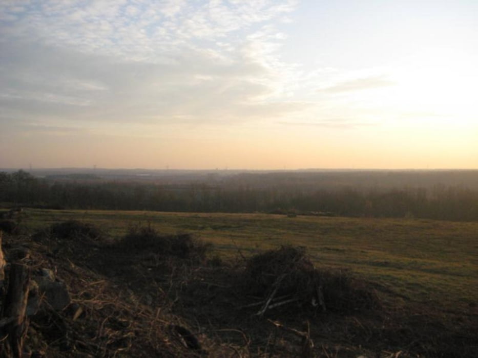

Danke
Vorsicht, das ist keine MTB-Strecke...
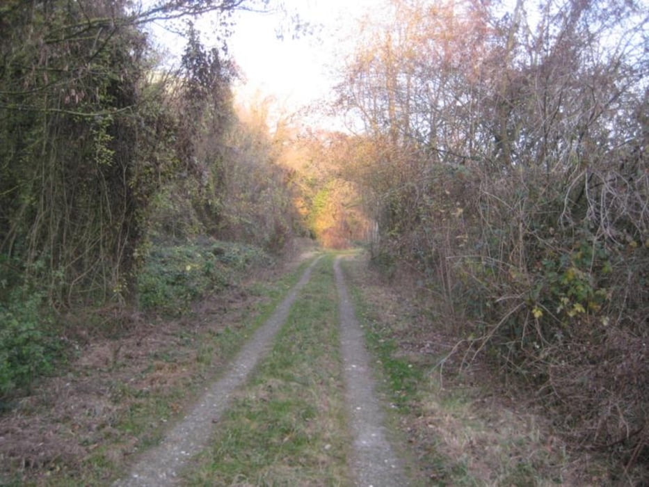
Die Anstiege sind nie länger als 50m weit, entsprechend auch die "Abfahrten". Landschaftlich gibt es ein paar schöne Ausblicke über die Seen, aber auch diesbezüglich darf man nicht allzu viel erwarten.
Bei trockenem Wetter würde ich eher zu einem Trecking-Rad greifen.