


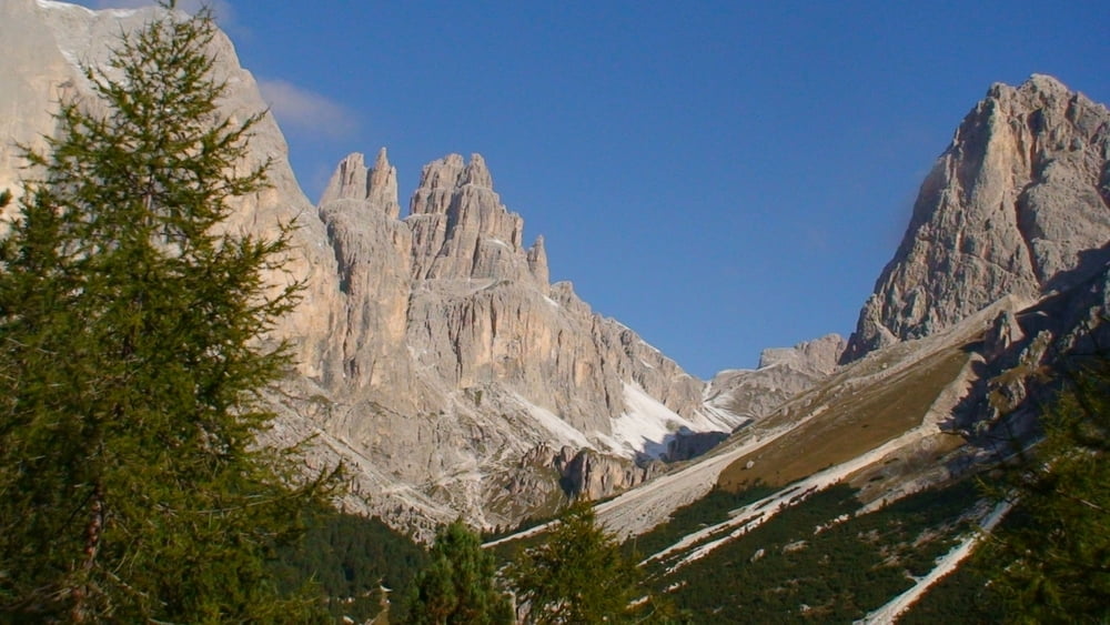
Mit der Seilbahn von Vigo di Fassa zum Plateau "Ciampedie" auf 2.000m Höhe: faszinierender Rundblick zum Rosengarten, Marmolada, Sella...
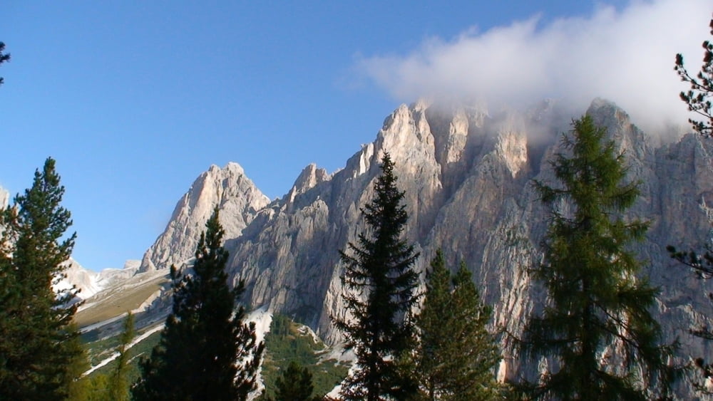
Auf wenig anstrengendem Weg geht es am "Rifugio Cardeccia" vorbei (Weg 546) zur "Vajolet- Hütte" (Mitte Juni bis Ende September geöffnet) auf 2.243m. Ein kurzes Stück auf dem Weg zurück und mit Weg 541 unterhalb der Felswände des Rosengartens ständig Auf und Ab dahin.
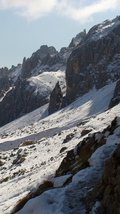
Mitte Oktober hatten ich an schattigen Stellen Schnee und eisige Stellen ind war froh, Leicht- Steigeisen (Grödeln) dabei zu haben!!
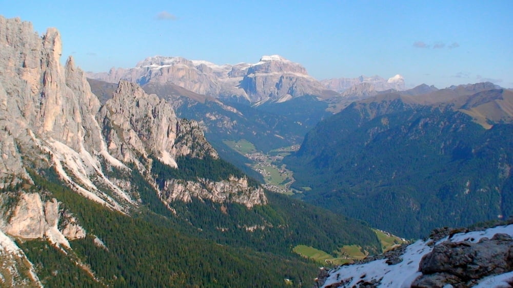
Dann geht es kräftig bergab zum Hochplateau zurück und mit der Seilbahn nach Vigo (alternativ: Abstieg ca. 1,5h)
Galerie du tour

Carte du tour et altitude
Minimum height 1948 m
Maximum height 2517 m
More about the tour author
|
|
heinz-57 |
Commentaires

Google Earth: N 46.423532° / E 11.677066°
Von Bozen kommend nach Welschnofen, über den Karerpass ins Fassatal nach Vigo di Fassa; Parkplatz an der Seilbahn.
Tracks GPS
Trackpoints-
GPX / Garmin Map Source (gpx) download
-
TCX / Garmin Training Center® (tcx) download
-
CRS / Garmin Training Center® (crs) download
-
Google Earth (kml) download
-
G7ToWin (g7t) download
-
TTQV (trk) download
-
Overlay (ovl) download
-
Fugawi (txt) download
-
Kompass (DAV) Track (tk) download
-
Feuille de tours (pdf) download
-
Original file of the author (gpx) download
More about the tour author
|
|
heinz-57 |
Add to my favorites
Remove from my favorites
Edit tags
Open track
My score
Rate