Login

Login oublié ?

Cookies have to be accepted!
Your browser's cookie functionality is disabled. Please enable this functionality.

Not a member yet?

Register now
Login

Available for registred users only

Log in to use this feature.

Login oublié ?

Cookies have to be accepted!
Your browser's cookie functionality is disabled. Please enable this functionality.

Not a member yet?

Register now
Filter
Catégories
Advanced filters
  • Longueur (km)
  • Altimètre
Enregistrer le filtre Reset filter

TrackRank

QRCode

Technical data

Longueur44,6 km Altimètre249 m Way down290 m Durée03:00 h:m Date27.11.2011
Evaluations Author Paysage Aspect amusement Condition Technique

Statistiques

459 Vues Evaluations 48 Téléchargements Moyenne
Rate
  • Feuille de tours
  • Arrivée
  • Téléchargements
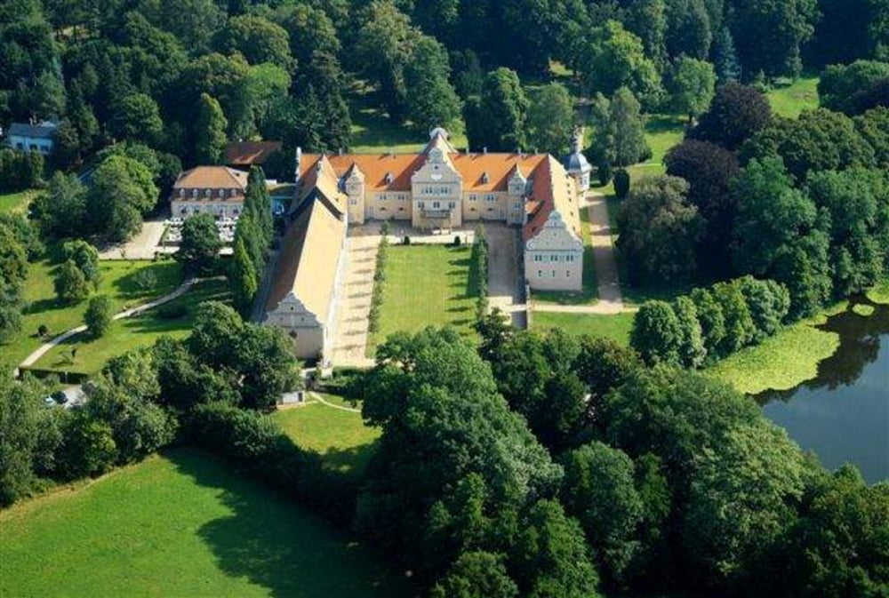
Von Langen geht es durch den Wald zur Fischrehütte in der Nähe von Darmstadt. Auf dem Rückweg geht durch den Wald zum Schloss Kranichstein und weiter nach Langen

Galerie du tour

Carte du tour et altitude

  • Open Street Map
  • Google
Minimum height 120 m Maximum height 240 m Vue de détail

More about the tour author

Zwecke
Member since 2009

Send private message

Commentaires

Beginn/Ende ist Langen

Tracks GPS

Trackpoints
  • GPX / Garmin Map Source (gpx) download
  • TCX / Garmin Training Center® (tcx) download
  • CRS / Garmin Training Center® (crs) download
  • Google Earth (kml) download
  • G7ToWin (g7t) download
  • TTQV (trk) download
  • Overlay (ovl) download
  • Fugawi (txt) download
  • Kompass (DAV) Track (tk) download
  • Feuille de tours (pdf) download
  • Original file of the author (gpx) download

More about the tour author

Zwecke
Member since 2009

Send private message
Share track
Add to my favorites
Remove from my favorites
Edit tags
My score
Rate
Tour: Zur Fischerhütte
Cat.: Mountainbike
Longueur: 44,6 km
Evaluated on:
Durée:
Day(s)
Hour(s)
Minute(s)
Evaluation: Paysage Aspect amusement Condition Technique