Login

Login oublié ?

Cookies have to be accepted!
Your browser's cookie functionality is disabled. Please enable this functionality.

Not a member yet?

Register now
Login

Available for registred users only

Log in to use this feature.

Login oublié ?

Cookies have to be accepted!
Your browser's cookie functionality is disabled. Please enable this functionality.

Not a member yet?

Register now
Filter
Catégories
Advanced filters
  • Longueur (km)
  • Altimètre
Enregistrer le filtre Reset filter

TrackRank

QRCode

Technical data

Longueur21,4 km Altimètre348 m Way down383 m Durée03:00 h:m Date30.12.2011
Evaluations Author User Paysage Aspect amusement Condition Technique

Statistiques

1424 Vues 1 Evaluation 103 Téléchargements 4.00 Moyenne
Rate
  • Feuille de tours
  • Arrivée
  • Téléchargements
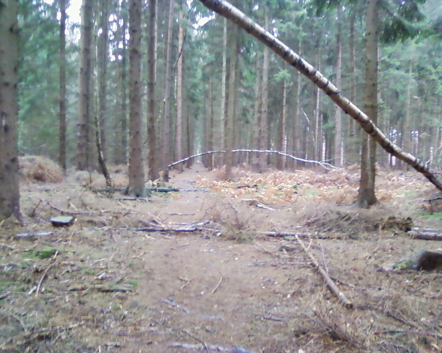
Ziel dieser Runde war es mit unseren Söhnen (11 Jahre) viele Trails zu erfahren. Dabei sollte die Distanz nicht zu groß werden. Start ist in Langerwehe die Jüngersdorferstrasse. Von dort geht es überwiegend auf Forstwegen und Trails Richtung Wehebachtalsperre und zurück vorbei an Schoß Merode, bis wir dann wieder Jüngersdorf erreichen.

Galerie du tour

Carte du tour et altitude

  • Open Street Map
  • Google
Minimum height 148 m Maximum height 372 m Vue de détail

More about the tour author

hilli_ac
Member since 2010

Send private message

Commentaires

hojansen on 29.06.2015

Super Tour

Die kurze Tour hat mich positiv überrascht. Sie führt fast ausschließlich über Singletrails und Waldwege, die kaum frequentiert sind. Leider haben die Waldarbeiter auf den ersten Kilometern wieder volle Arbeit geleistet und mit Ihrem Traktor tiefe Spuren hinterlassen, teilweise voll mit Wasser. Am Rand kann man sich gerade noch so vorbeidrücken (Abrutschgefahr!). Aber danach kommen nur noch geniale Trails. Da viele Wege verwurzelt sind, empfiehlt es sich, die Tour bei Trockenheit zu fahren. Die Trails sind fast alle einfach etwa zwischen Kategorie S1 und S2. Die Tour werde ich auf jeden Fall noch einmal fahren.

Vielen Dank an hilf_ac.

Tracks GPS

Trackpoints
  • GPX / Garmin Map Source (gpx) download
  • TCX / Garmin Training Center® (tcx) download
  • CRS / Garmin Training Center® (crs) download
  • Google Earth (kml) download
  • G7ToWin (g7t) download
  • TTQV (trk) download
  • Overlay (ovl) download
  • Fugawi (txt) download
  • Kompass (DAV) Track (tk) download
  • Feuille de tours (pdf) download
  • Original file of the author (gpx) download

More about the tour author

hilli_ac
Member since 2010

Send private message
Share track
Add to my favorites
Remove from my favorites
Edit tags
My score
Rate
Tour: ab Langerwehe bis zur Wehebachtalsperre
Cat.: Mountainbike
Longueur: 21,4 km
Evaluated on:
Durée:
Day(s)
Hour(s)
Minute(s)
Evaluation: Paysage Aspect amusement Condition Technique