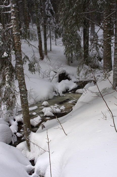
Schöne, einfache Rundloipe.
Führt die meiste Zeit durch den Wald, mit Fernsicht ist hier also nicht gedient. Dadurch aber auch bei Wind und Schneefall immer recht gut geschützt.
Der Gasthof am Start bzw. Ende der Tour hat für Tagesgäste allerdings nur bis 17 Uhr geöffnet, danach nur noch für Übernachtungsgäste.
Galerie du tour
Carte du tour et altitude
Commentaires

In Hinterzarten Richtung Rinken abbiegen und der Straße bis zum Ende folgen.
Wer Rinken - Hinterzarten ins Navi eingibt wird fast bis zum Ende geleitet.
Idealerweise fährt man bis zur Schranke und lässt das Auto dort auf dem Wanderparkplatz (Parkschein) stehen.
Tracks GPS
Trackpoints-
GPX / Garmin Map Source (gpx) download
-
TCX / Garmin Training Center® (tcx) download
-
CRS / Garmin Training Center® (crs) download
-
Google Earth (kml) download
-
G7ToWin (g7t) download
-
TTQV (trk) download
-
Overlay (ovl) download
-
Fugawi (txt) download
-
Kompass (DAV) Track (tk) download
-
Feuille de tours (pdf) download
-
Original file of the author (gpx) download


