
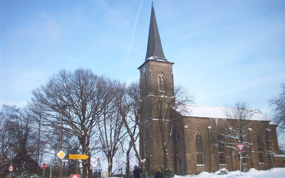

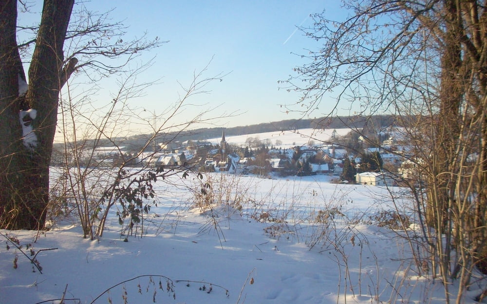
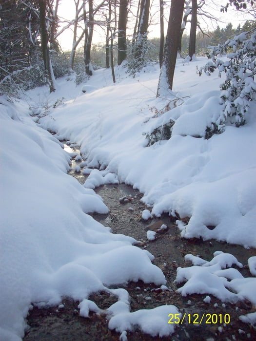
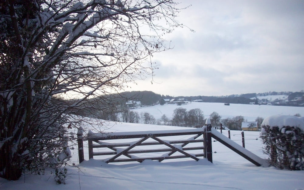
Rundweg ab Herzkamp (Sprockhövel) (nördlich von Wuppertal)
Bergauf und -ab über Wald- und Feldwege durch die reizvolle Hügellandschaft
Wenig Asphalt dafür aber durch teilweise matschige Wege.
Wir hatten (Weihnachten 2010) ganz schön mit dem verwehten Tiefschnee zu kämpfen.
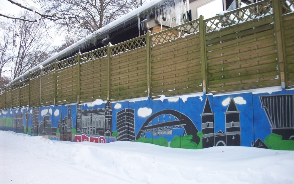
Galerie du tour
Carte du tour et altitude
Minimum height 99999 m
Maximum height -99999 m
More about the tour author

|
herzgitti |
Commentaires

A46 - Ausfahrt Wuppertal-Wichlinghausen - Links in Müggenburg - 1.Ampel Links Gennebrecker Str. - Auf Einern geradeaus durch Kreisel - über Barmer Str. runter nach Herzkamp.
GPS Sportplatz : N51 18.767 E7 12.447
Tracks GPS
Trackpoints-
GPX / Garmin Map Source (gpx) download
-
TCX / Garmin Training Center® (tcx) download
-
CRS / Garmin Training Center® (crs) download
-
Google Earth (kml) download
-
G7ToWin (g7t) download
-
TTQV (trk) download
-
Overlay (ovl) download
-
Fugawi (txt) download
-
Kompass (DAV) Track (tk) download
-
Feuille de tours (pdf) download
-
Original file of the author (gpx) download
More about the tour author
|
|
herzgitti |
Add to my favorites
Remove from my favorites
Edit tags
Open track
My score
Rate