


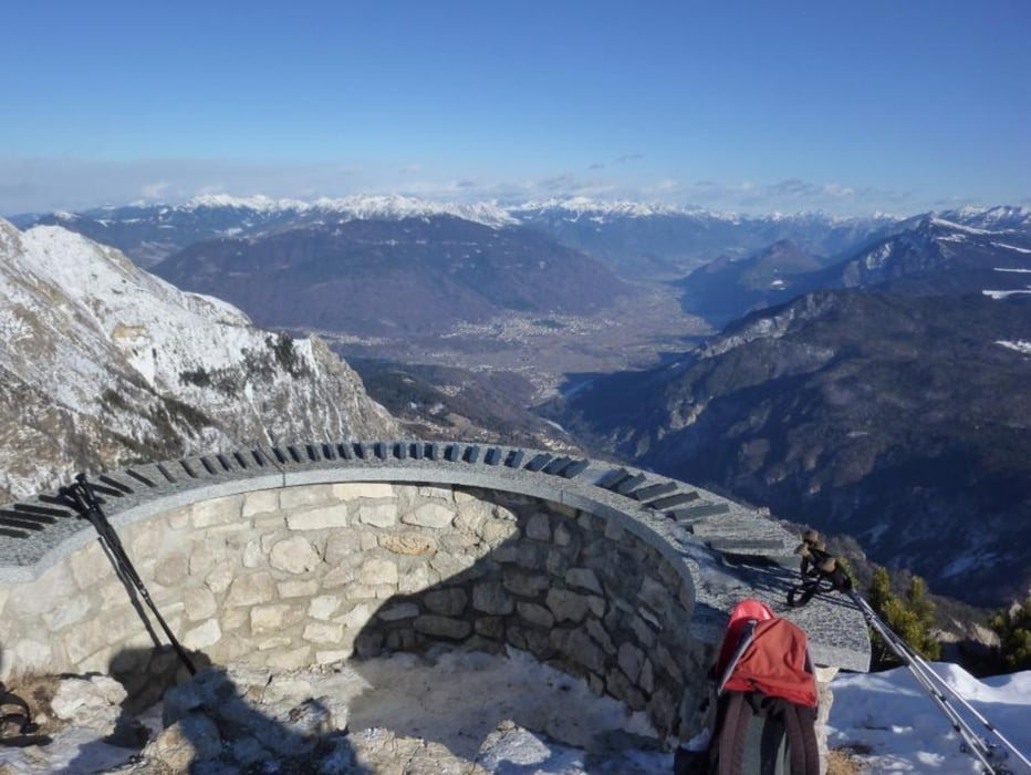
Der Startpunkt befindet sich am Ortsende von Costa am arkplatz der aufgelassenen Liftstation. Wir starten über eine aufgelassenen Skipiste mit mäßiger Steigung bis wir am Ende auf einen Hohlweg treffen, den wir bis zur nächsten Skipiste folgen. Nun wieder über eine Piste und dann lx die letzten Meter zum Vorgipfel mit Ski-Gipfelkreuz. Jetzt sind es nur mehr ein paar Schritte bis zur Aussichtskanzel.
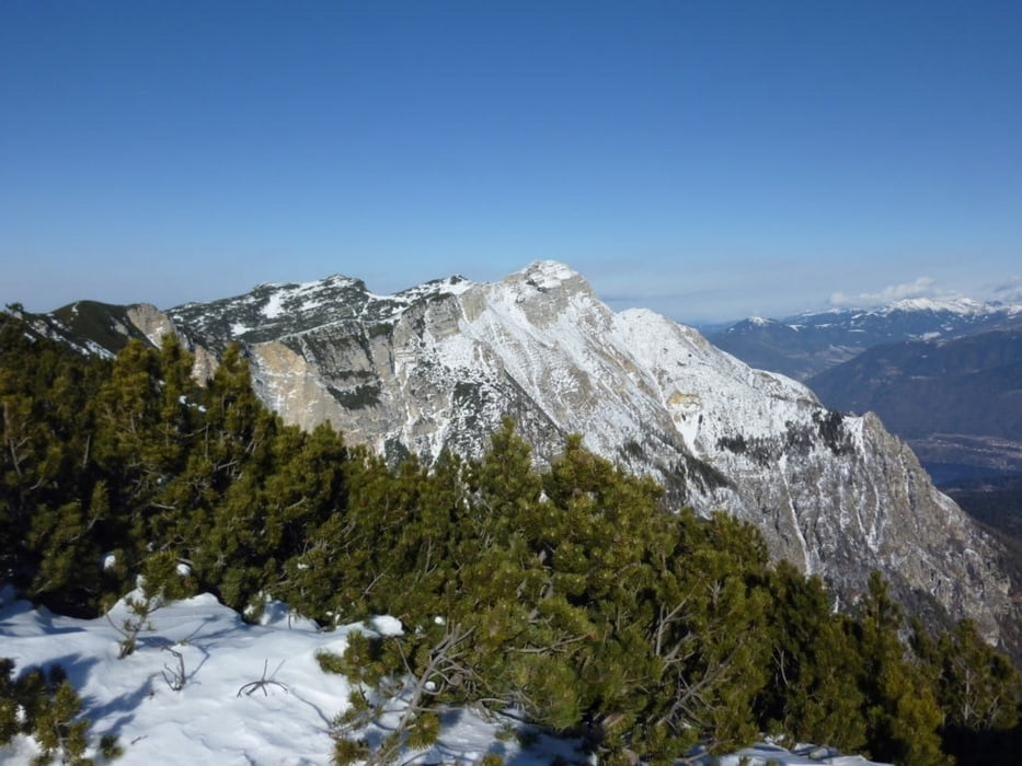
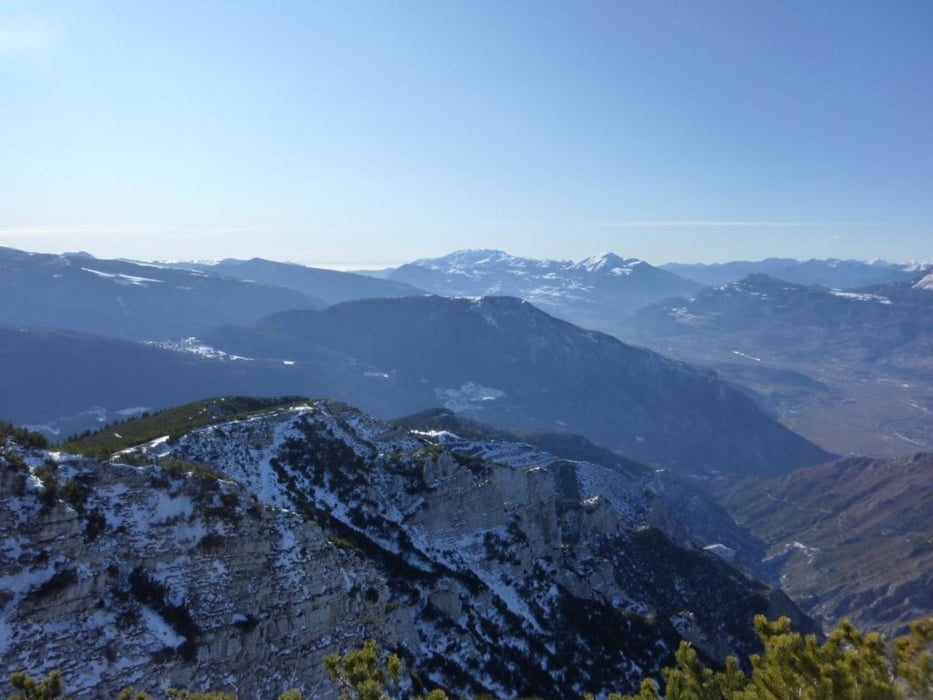
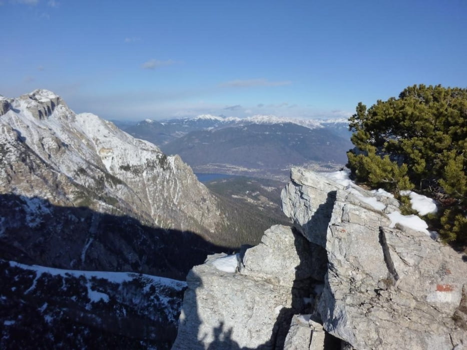
Wir genießen das 360° Panorama und die Sonne. Der Blick reicht hier von der Tezzelgruppe im Norden über Marmolada, Monte Grappa, Pasubio bis zum Appenin. Am Ende des Gipfelratens und einer Stärkung kehren wir dann auf der Aufstiegsspur zurück zum Auto.
Einkehrmöglichkeit nur bei Start/Ziel
Landkarte: Kompass Nr. 631
Trackdatum 08.01.2012
Further information at
http://www.montagnaconamore.it/default.aspxGalerie du tour
Carte du tour et altitude
Minimum height 1251 m
Maximum height 2050 m
More about the tour author
|
|
Califan |
Commentaires

Anfahrt über SS 12 (Trient - Rovereto) bis Calliano hier Richtung Folgaria (ca.14 KM). An Folgaria vorbei Richtung Costa - Passo del Sommo. Bei den letzten Häusern von Costa lx (Pizzeria Keizel) großer Parkplatz.
Tracks GPS
Trackpoints-
GPX / Garmin Map Source (gpx) download
-
TCX / Garmin Training Center® (tcx) download
-
CRS / Garmin Training Center® (crs) download
-
Google Earth (kml) download
-
G7ToWin (g7t) download
-
TTQV (trk) download
-
Overlay (ovl) download
-
Fugawi (txt) download
-
Kompass (DAV) Track (tk) download
-
Feuille de tours (pdf) download
-
Original file of the author (gpx) download
More about the tour author
|
|
Califan |
Add to my favorites
Remove from my favorites
Edit tags
Open track
My score
Rate