


Gestartet haben wir die gemütliche Sonntagnachmittagsrunde in Stuttgart Bad Cannstatt in Richtung Max-Eyth-See.
Anschließend ging es immer gerade aus auf dem Fahrradweg in Richtung Remseck und dann Richtung Ludwigsburg.
Es ist alles super beschildert.
Anschließend ging es immer gerade aus auf dem Fahrradweg in Richtung Remseck und dann Richtung Ludwigsburg.
Es ist alles super beschildert.
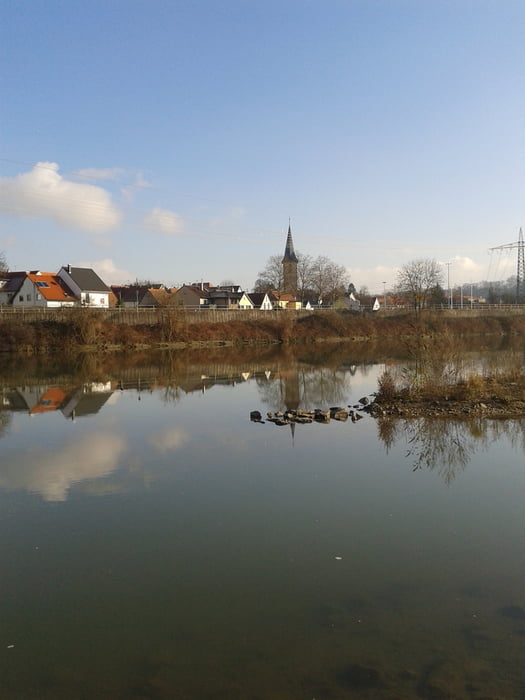
Galerie du tour
Carte du tour et altitude
Minimum height 136 m
Maximum height 239 m
More about the tour author

|
heiligerbimbam |
Commentaires

Tracks GPS
Trackpoints-
GPX / Garmin Map Source (gpx) download
-
TCX / Garmin Training Center® (tcx) download
-
CRS / Garmin Training Center® (crs) download
-
Google Earth (kml) download
-
G7ToWin (g7t) download
-
TTQV (trk) download
-
Overlay (ovl) download
-
Fugawi (txt) download
-
Kompass (DAV) Track (tk) download
-
Feuille de tours (pdf) download
-
Original file of the author (gpx) download
More about the tour author
|
|
heiligerbimbam |
Add to my favorites
Remove from my favorites
Edit tags
Open track
My score
Rate