
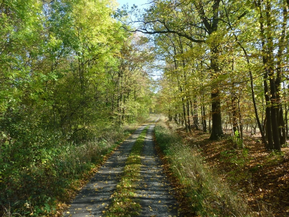

Schon seit langem wollte ich mal eine Grenzwanderung machen, welche auf dem ehemaligen Grenzstreifen zwischen Thüringen und Bayern verläuft. Da dies jedoch nicht als Rundweg möglich ist, wurde das Vorhaben immer wieder aufgeschoben. Natürlich sollte es unterwegs auch noch was zum Sehen geben. Deshalb viel die Wahl auf ein Teilstück der innerdeutschen Grenze des Coburger Landes welches sich vorbei an Heldburg bis zur Burgruine Straufhain erstreckt. Leider sind hier öffentliche Verkehrsmittel nahezu unbekannt, weshalb wir mit zwei Autos anreisten und je eines am Start auf einem Wanderparkplatz am Fuße der Heldburg und eines am Ziel, einem Wanderparkplatz nördlich des Straufhain, abstellten.
Wer mehr wissen möchte klickt auf untenstehenden Link
Further information at
http://wandern-im-coburger-land.de/heldburg.htmlGalerie du tour

Carte du tour et altitude
Minimum height 298 m
Maximum height 452 m
More about the tour author
|
|
screwtapecoburg |
Commentaires

Den Parkplatz unterhalb der Veste Heldburg nutzen. Öffentliche Verkehrsmittel sind nahezu nicht vorhanden, höchstens ein Taxi aus Bad Rodach.
Tracks GPS
Trackpoints-
GPX / Garmin Map Source (gpx) download
-
TCX / Garmin Training Center® (tcx) download
-
CRS / Garmin Training Center® (crs) download
-
Google Earth (kml) download
-
G7ToWin (g7t) download
-
TTQV (trk) download
-
Overlay (ovl) download
-
Fugawi (txt) download
-
Kompass (DAV) Track (tk) download
-
Feuille de tours (pdf) download
-
Original file of the author (gpx) download
More about the tour author
|
|
screwtapecoburg |
Add to my favorites
Remove from my favorites
Edit tags
Open track
My score
Rate