


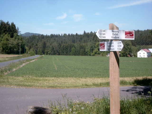
Von der Fahrstraße zur Gaststätte Kellermühle, im Gasthausgelände rechts abbiegen und hinter dem Gasthaus auf einem schmalen Fußweg den Hang empor. Über die Höhe Richtung Pullenreuth und Mergnersdorf und weiter in Richtung Stockau. Durchs Hölltal und in einer weiten Schleife durch den Wald in Richtung Schwarzenreuth. Nördlich an der Ortschaft vorbei und nach Westen in Richtung Ebnath. Bei einem Wasserbehälter am Waldrand in nördlicher Richtung abbiegen, in nordöstlicher Richtung in ein kleines Tal und anschließend fast immer im Wald Richtung Kösseine. Von der Kösseine der Wegweisung Richtung Luisenburg folgen und hinunter zu den Parkplätzen.
Further information at
http://www.fichtelgebirgsverein.de/seiten/wanderwege/goldstein.htmGalerie du tour
Carte du tour et altitude
Minimum height 518 m
Maximum height 934 m
More about the tour author
|
|
KaufensH |
Commentaires

Von der A93 bei Marktredwitz oder der A9 bei Bayreuth nach Pullenreuth und der Wegweisung zur Kellermühle folgend.
Tracks GPS
Trackpoints-
GPX / Garmin Map Source (gpx) download
-
TCX / Garmin Training Center® (tcx) download
-
CRS / Garmin Training Center® (crs) download
-
Google Earth (kml) download
-
G7ToWin (g7t) download
-
TTQV (trk) download
-
Overlay (ovl) download
-
Fugawi (txt) download
-
Kompass (DAV) Track (tk) download
-
Feuille de tours (pdf) download
-
Original file of the author (gpx) download
More about the tour author
|
|
KaufensH |
Add to my favorites
Remove from my favorites
Edit tags
Open track
My score
Rate