Login

Login oublié ?

Cookies have to be accepted!
Your browser's cookie functionality is disabled. Please enable this functionality.

Not a member yet?

Register now
Login

Available for registred users only

Log in to use this feature.

Login oublié ?

Cookies have to be accepted!
Your browser's cookie functionality is disabled. Please enable this functionality.

Not a member yet?

Register now
Filter
Catégories
Advanced filters
  • Longueur (km)
  • Altimètre
Enregistrer le filtre Reset filter

TrackRank

QRCode

Technical data

Longueur9,6 km Altimètre244 m Way down239 m Durée02:30 h:m Date25.01.2012
Evaluations Author Paysage Aspect amusement Condition Technique

Statistiques

209 Vues Evaluations 29 Téléchargements Moyenne
Rate
  • Feuille de tours
  • Arrivée
  • Téléchargements


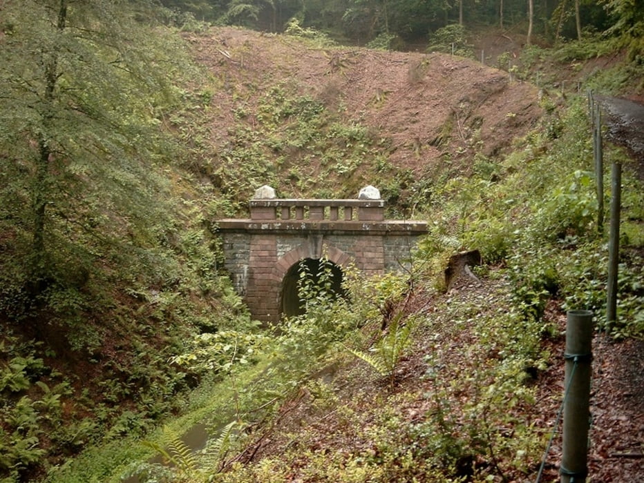
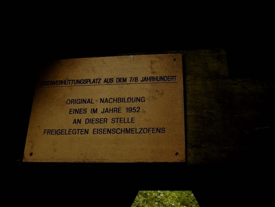
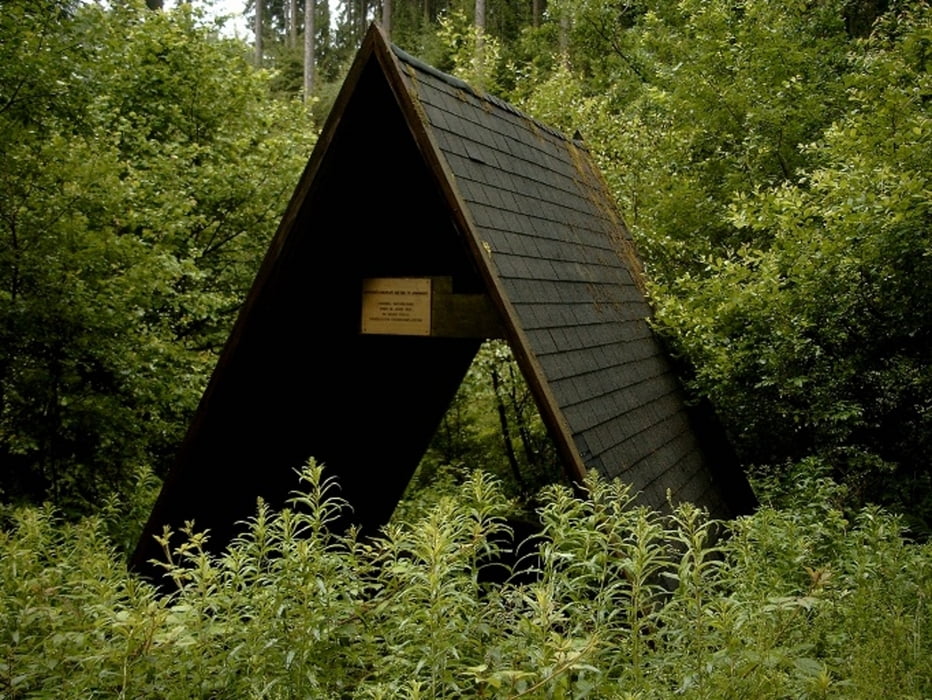
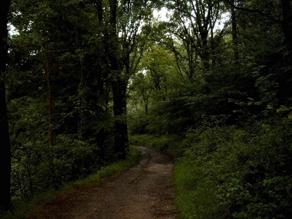
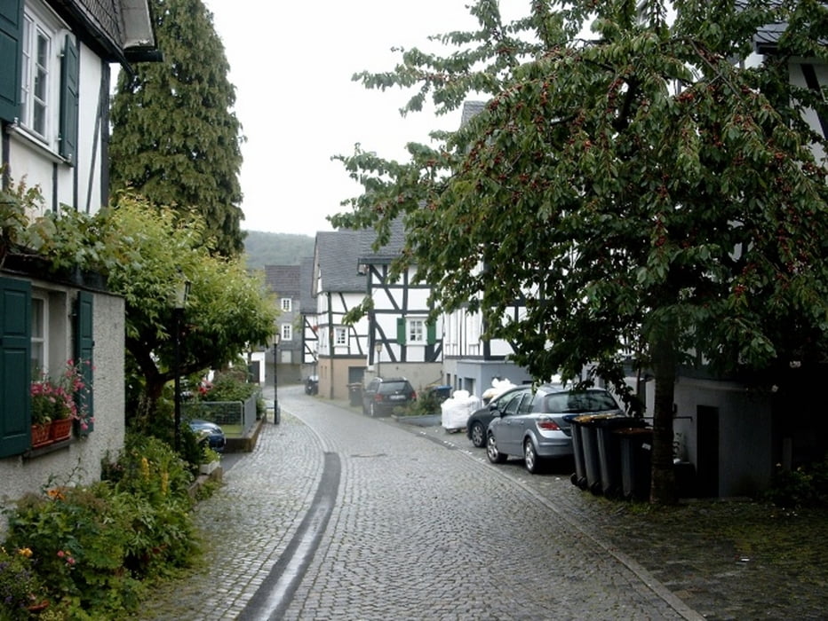
Start und Ziel Parkplatz Kath.KircheEinfacher und wunsderschöner Weg mit Blick auf den Hohenhainer Tunel.Die Strecke verläuft größtenteils über kleine geschwungene Pfade, so dass hinter jeder Abbiegung immer neue Eindrücke auf den Wanderer warten. Im Gambachtals kommt man an der Nachbildung eines mittelalterlichen Schmelzofens vorbei. Kurz danach kommt Hohenhainer Tunel denn wir aber von oben zu sehen bekommen.Und weiter über Mausbach nach Freudenberg.

Galerie du tour

Carte du tour et altitude

  • Open Street Map
  • Google
Minimum height 288 m Maximum height 438 m Vue de détail

More about the tour author

ajdda
Member since 2011

Send private message

Commentaires

Tracks GPS

Trackpoints
  • GPX / Garmin Map Source (gpx) download
  • TCX / Garmin Training Center® (tcx) download
  • CRS / Garmin Training Center® (crs) download
  • Google Earth (kml) download
  • G7ToWin (g7t) download
  • TTQV (trk) download
  • Overlay (ovl) download
  • Fugawi (txt) download
  • Kompass (DAV) Track (tk) download
  • Feuille de tours (pdf) download
  • Original file of the author (gpx) download

More about the tour author

ajdda
Member since 2011

Send private message
Share track
Add to my favorites
Remove from my favorites
Edit tags
My score
Rate
Tour: Rundwanderung über Hohenheiner Tunel
Cat.: Randonnées
Longueur: 9,6 km
Evaluated on:
Durée:
Day(s)
Hour(s)
Minute(s)
Evaluation: Paysage Aspect amusement Condition Technique