

Der Kalorienpfad ist der neue Hilchenbacher Wanderhöhepunkt links und rechts des Rothaarsteigs.
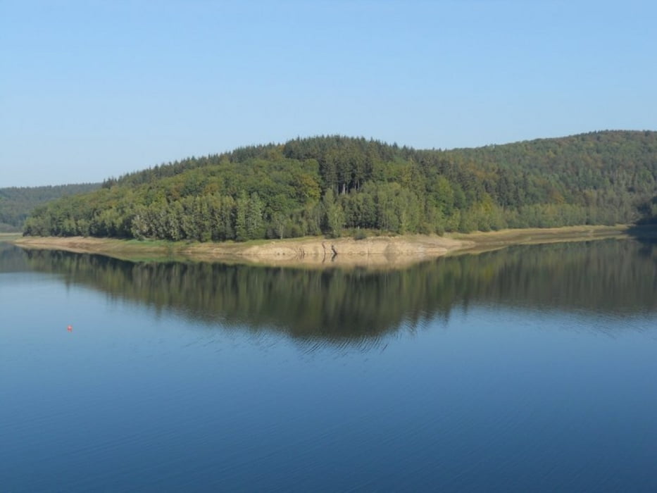
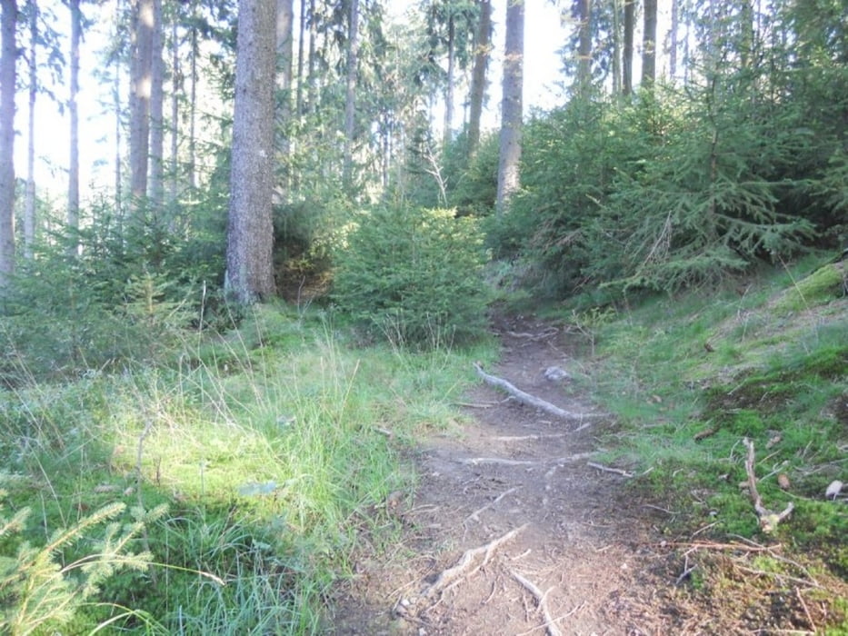
Er ist kein typischer Themenweg, sondern ein Natur- und Fitnesserlebnis der besonderen Art! Eigentlich geht es einmal rund um die Breitenbachtalsperre, aber nicht auf dem asphaltierten Uferweg, sondern auf einem 7 Kilometer langen Rundweg durch die Wälder Hilchenbachs.
Einkehrmöglichkeit:
Im Anschluss an die Wander- und Fitness-Tour bietet sich eine Einkehr im Restuaurant "Altes Wärterhaus" an. Hier kann man sich mit einem kühlen Getränk erfrischen oder die ein Mahlzeit zu sich nehmen.
Fazit: Ein wunderbares Stück Erde
Galerie du tour


Carte du tour et altitude
Minimum height 327 m
Maximum height 503 m
More about the tour author
|
|
ajdda |
Commentaires

Tracks GPS
Trackpoints-
GPX / Garmin Map Source (gpx) download
-
TCX / Garmin Training Center® (tcx) download
-
CRS / Garmin Training Center® (crs) download
-
Google Earth (kml) download
-
G7ToWin (g7t) download
-
TTQV (trk) download
-
Overlay (ovl) download
-
Fugawi (txt) download
-
Kompass (DAV) Track (tk) download
-
Feuille de tours (pdf) download
-
Original file of the author (gpx) download
More about the tour author
|
|
ajdda |
Add to my favorites
Remove from my favorites
Edit tags
Open track
My score
Rate