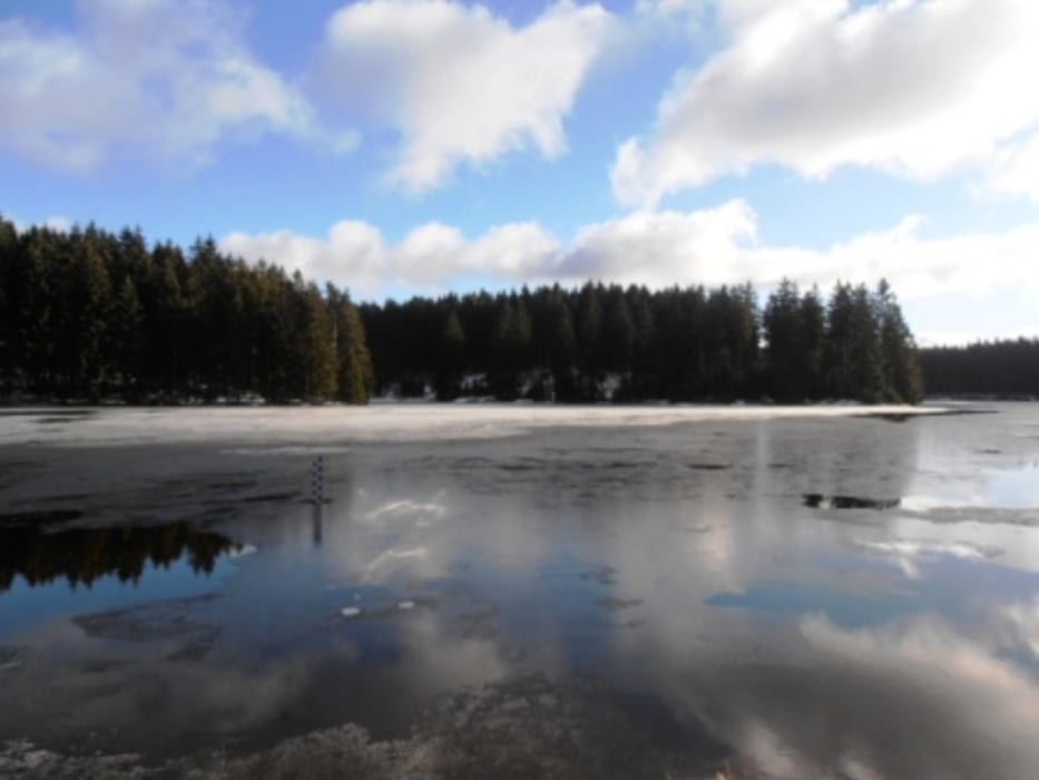
Einfache Wanderung, die aber Landschaftlich durchaus abwechslungsreich ist. Man geht durch typischen Harzwald, über Wiesen an den Clausthaler Teichen vorbei und bekommt gleich noch einen Eindruck von Buntenbock und Clausthal.
Galerie du tour
Carte du tour et altitude
Minimum height 531 m
Maximum height 599 m
Commentaires

Start der Wanderung war am Campingplatz. Wäre aber auch ab Clausthal oder Buntenbock möglich.Dort gibt es auch eine Busanbindung.
Tracks GPS
Trackpoints-
GPX / Garmin Map Source (gpx) download
-
TCX / Garmin Training Center® (tcx) download
-
CRS / Garmin Training Center® (crs) download
-
Google Earth (kml) download
-
G7ToWin (g7t) download
-
TTQV (trk) download
-
Overlay (ovl) download
-
Fugawi (txt) download
-
Kompass (DAV) Track (tk) download
-
Feuille de tours (pdf) download
-
Original file of the author (gpx) download
Add to my favorites
Remove from my favorites
Edit tags
Open track
My score
Rate


