Login

Login oublié ?

Cookies have to be accepted!
Your browser's cookie functionality is disabled. Please enable this functionality.

Not a member yet?

Register now
Login

Available for registred users only

Log in to use this feature.

Login oublié ?

Cookies have to be accepted!
Your browser's cookie functionality is disabled. Please enable this functionality.

Not a member yet?

Register now
Filter
Catégories
Advanced filters
  • Longueur (km)
  • Altimètre
Enregistrer le filtre Reset filter

TrackRank

QRCode

Technical data

Longueur11,8 km Altimètre304 m Way down327 m Durée03:30 h:m Date29.01.2012
Evaluations Author Paysage Aspect amusement Condition Technique

Statistiques

597 Vues Evaluations 33 Téléchargements Moyenne
Rate
  • Feuille de tours
  • Arrivée
  • Téléchargements
Eine schöne Wanderung, nicht nur im Winter. Von Elend zur ehemaligen Grenze und dann dem Grenzweg folgend zum Kaffeehorst und zurück nach Elend. Jetzt im Winter war ein deutlicher Unterschied in der Schneehöhe. Das kostet in den höheren Lagen ordentlich Kraft!

Galerie du tour

Carte du tour et altitude

  • Open Street Map
  • Google
Minimum height 483 m Maximum height 745 m Vue de détail

More about the tour author

wanderer_09
Member since 2008

Send private message

Commentaires

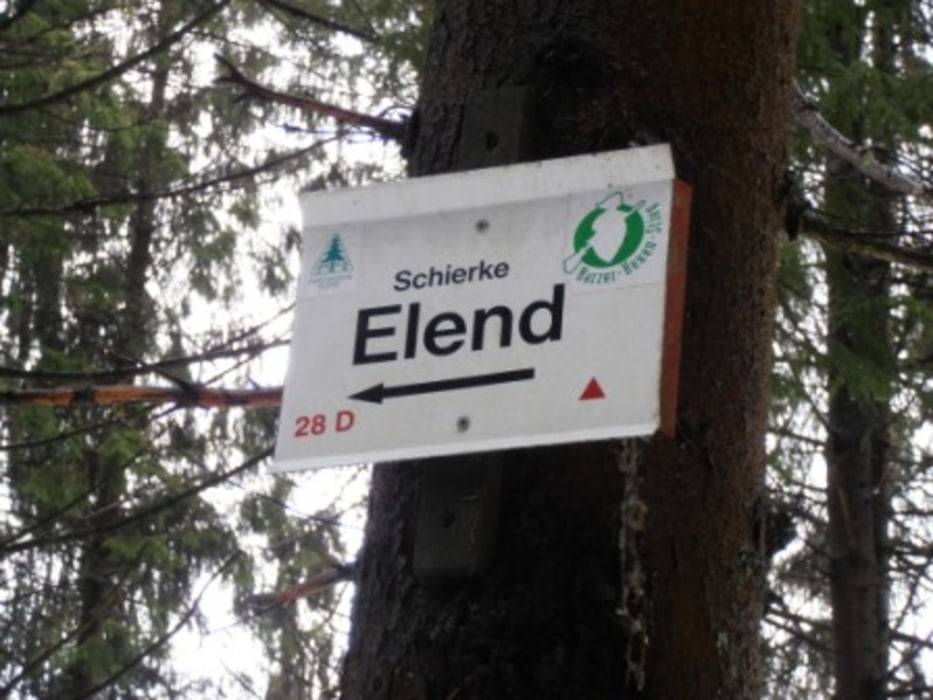
Ausgangspunkt war der Bahnhof der Harzquerbahn in Elend. Kostet allerdings Gebühr! (Tagesticket 2,50€, Stand Januar 2012)

Tracks GPS

Trackpoints
  • GPX / Garmin Map Source (gpx) download
  • TCX / Garmin Training Center® (tcx) download
  • CRS / Garmin Training Center® (crs) download
  • Google Earth (kml) download
  • G7ToWin (g7t) download
  • TTQV (trk) download
  • Overlay (ovl) download
  • Fugawi (txt) download
  • Kompass (DAV) Track (tk) download
  • Feuille de tours (pdf) download
  • Original file of the author (gpx) download

More about the tour author

wanderer_09
Member since 2008

Send private message
Share track
Add to my favorites
Remove from my favorites
Edit tags
My score
Rate
Tour: Von Elend zum Kaffeehorst
Cat.: Randonnées
Longueur: 11,8 km
Evaluated on:
Durée:
Day(s)
Hour(s)
Minute(s)
Evaluation: Paysage Aspect amusement Condition Technique