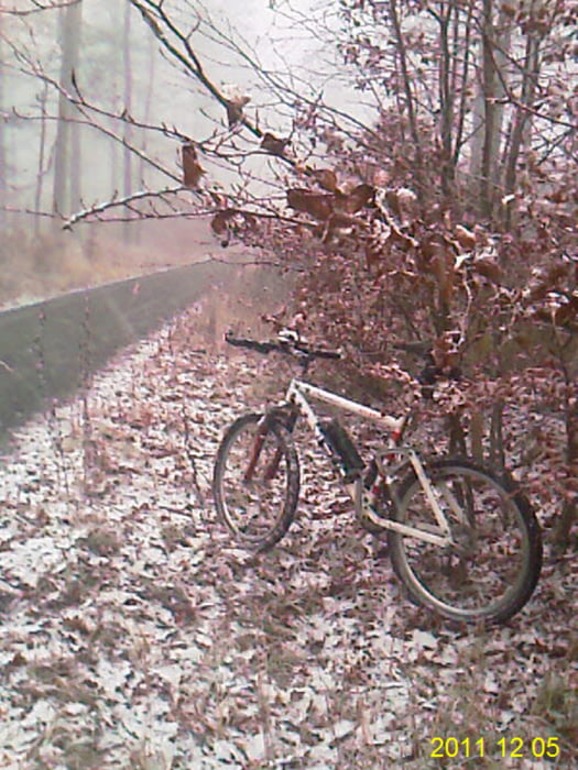
Von Zeil über den Main nach Sand, Zell bis Oberschleichach. Links am Ort den Hang hoch. Auf der Höhe Richtung Eltmann und in den Mainauen zurück. Die Tour verläuft vorwiegend auf Rad-, Flur- und Waldwege. Sie bietet sich als Wintertrainingsrunde an.
Galerie du tour
Carte du tour et altitude
Minimum height 214 m
Maximum height 418 m
Commentaires

Zeil am Main liegt cirka in der Mitte von Schweinfurt und Bamberg
Tracks GPS
Trackpoints-
GPX / Garmin Map Source (gpx) download
-
TCX / Garmin Training Center® (tcx) download
-
CRS / Garmin Training Center® (crs) download
-
Google Earth (kml) download
-
G7ToWin (g7t) download
-
TTQV (trk) download
-
Overlay (ovl) download
-
Fugawi (txt) download
-
Kompass (DAV) Track (tk) download
-
Feuille de tours (pdf) download
-
Original file of the author (gpx) download
Add to my favorites
Remove from my favorites
Edit tags
Open track
My score
Rate


