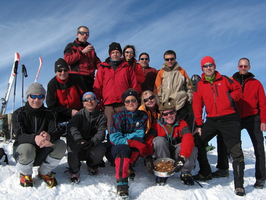
Hinterrhein m.1620, seguire le tracce fino all'alpeggio e poi fino all'evidente cima per valloni e traversi.
Further information at
http://www.hikr.org/tour/post32677.htmlCarte du tour et altitude
Minimum height 1613 m
Maximum height 3043 m
Commentaires

Autostrada per San Bernardino, uscita Hinterrhein, park auto spazio antistante la chiesa.
Tracks GPS
Trackpoints-
GPX / Garmin Map Source (gpx) download
-
TCX / Garmin Training Center® (tcx) download
-
CRS / Garmin Training Center® (crs) download
-
Google Earth (kml) download
-
G7ToWin (g7t) download
-
TTQV (trk) download
-
Overlay (ovl) download
-
Fugawi (txt) download
-
Kompass (DAV) Track (tk) download
-
Feuille de tours (pdf) download
-
Original file of the author (gpx) download
Add to my favorites
Remove from my favorites
Edit tags
Open track
My score
Rate

