
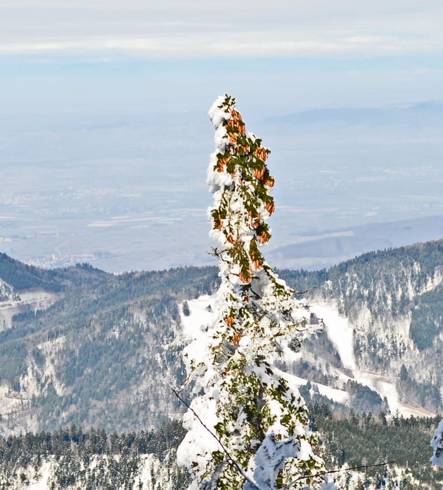

Vom Parkplatz Krinnen zum Westweg und dann hoch zum Belchen (steil 30° ). Vom Gipfel herrlichen Rundblick. Vom Gipfel abwärts zum Belchenhaus (Einkehrmöglichkeit) und zum Böllener Eck und über die Stuhlsebene zum Rabenfelsen . Vor wieder Rückwärts zum Jägerstüble(Einkehrmöglichkeit). Nun auf der Belchenstrasse aufwärts bis zur Abzweigung zum Parkplatz Krinne 1km.
Galerie du tour


Carte du tour et altitude
Minimum height 1045 m
Maximum height 1415 m
More about the tour author

|
Lohrer |
Commentaires

Von der A5 Ausfahrt Bad Krozingen - Münstertal zum Wiederner Eck und abbiegen Richtung Belchen/Multen.
Im Wiesental nach Schönau - Multen - Richtung Wiederner Eck.
Tracks GPS
Trackpoints-
GPX / Garmin Map Source (gpx) download
-
TCX / Garmin Training Center® (tcx) download
-
CRS / Garmin Training Center® (crs) download
-
Google Earth (kml) download
-
G7ToWin (g7t) download
-
TTQV (trk) download
-
Overlay (ovl) download
-
Fugawi (txt) download
-
Kompass (DAV) Track (tk) download
-
Feuille de tours (pdf) download
-
Original file of the author (gpx) download
More about the tour author
|
|
Lohrer |
Add to my favorites
Remove from my favorites
Edit tags
Open track
My score
Rate