Login

Login oublié ?

Cookies have to be accepted!
Your browser's cookie functionality is disabled. Please enable this functionality.

Not a member yet?

Register now
Login

Available for registred users only

Log in to use this feature.

Login oublié ?

Cookies have to be accepted!
Your browser's cookie functionality is disabled. Please enable this functionality.

Not a member yet?

Register now
Filter
Catégories
Advanced filters
  • Longueur (km)
  • Altimètre
Enregistrer le filtre Reset filter

TrackRank

QRCode

Technical data

Longueur12,0 km Altimètre362 m Way down356 m Durée00:00 h:m Date24.02.2012
Evaluations Author Paysage Aspect amusement Condition Technique

Statistiques

536 Vues Evaluations 43 Téléchargements Moyenne
Rate
  • Feuille de tours
  • Arrivée
  • Téléchargements

Gemühtliche Wanderung. Die Steigungen auf dem Höhenprofil sehen schlimmer aus als in der Realität.
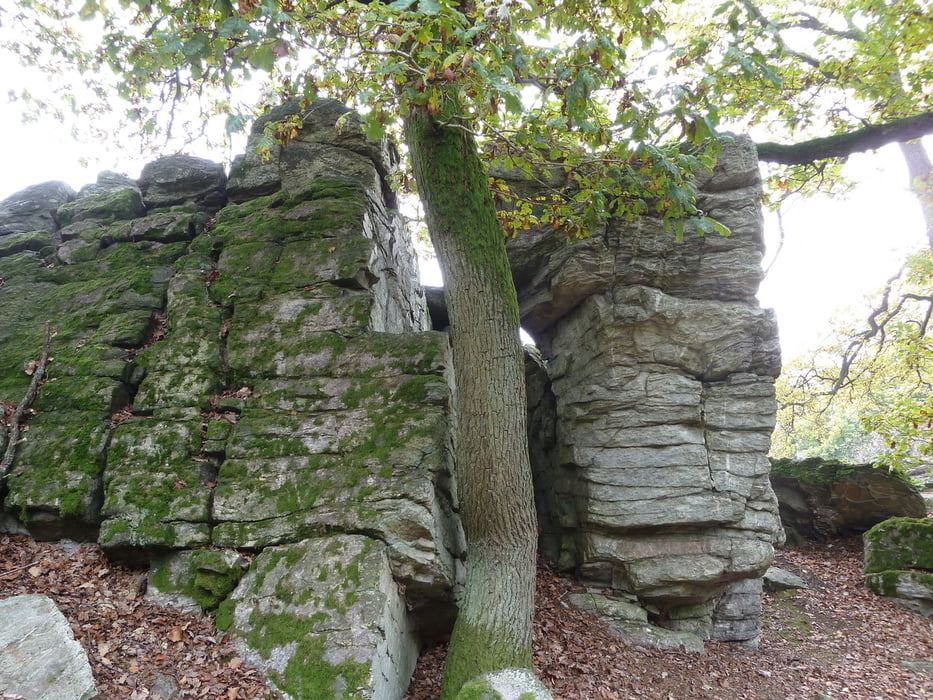
Unterwegs gibt es viel zu sehen >> Herzbergturm,Limes,Felsformationen
Zusätzlich ist die Strecke gut zu verbinden mit dem Besuch einens Römercastell´s
-Saalburg- und eines Freilichtmuseums -Hessenpark-


Galerie du tour

Carte du tour et altitude

  • Open Street Map
  • Google
Minimum height 357 m Maximum height 648 m Vue de détail

More about the tour author

koelner1977
Member since 2012

Send private message

Commentaires

Start ist der kostenfreie Besucherparkplatz der Saalburg


Tracks GPS

Trackpoints
  • GPX / Garmin Map Source (gpx) download
  • TCX / Garmin Training Center® (tcx) download
  • CRS / Garmin Training Center® (crs) download
  • Google Earth (kml) download
  • G7ToWin (g7t) download
  • TTQV (trk) download
  • Overlay (ovl) download
  • Fugawi (txt) download
  • Kompass (DAV) Track (tk) download
  • Feuille de tours (pdf) download
  • Original file of the author (gpx) download

More about the tour author

koelner1977
Member since 2012

Send private message
Share track
Add to my favorites
Remove from my favorites
Edit tags
My score
Rate
Tour: Raum Bad Homburg aus Rother Wanderführer -Taunus- Nr. 42
Cat.: Randonnées
Longueur: 12,0 km
Evaluated on:
Durée:
Day(s)
Hour(s)
Minute(s)
Evaluation: Paysage Aspect amusement Condition Technique