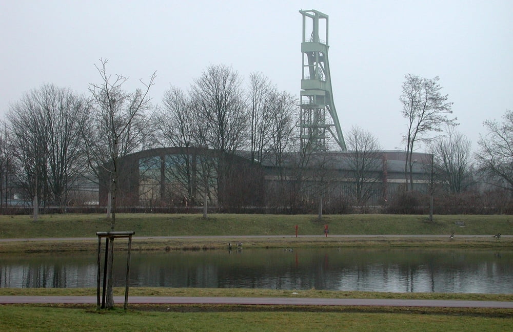
Haedenkampstr. rechter Hand Großbaustelle auf dem Gelände der ehemaligen Zeche Sälzer-Neuack; Krupp-Park mit Blick auf ehemalige Zeche Helene-Amalie; kurzes Stück auf Radweg „Rheinische Bahn“; Helenenstr. rechts die Zeche Helene-Amalie, links ehemalige Kruppsche Maschinenfabrik (Lokbau) M3, rechts ehemalige Maschinenfabrik (Lokbau) M2; nach Querung der Bottroper Str. durch das Gebiet der ehemaligen Maschinenfabrik (Lokbau) M1; erneute Querung der Bottroper Str.; über den neu gebauten Berthold-Beitz-Boulevard zum Krupp/Thyssen Hauptquartier mit Stammhaus; zurück über Westendstr. und Frohnhauser Str. zum Ausgangspunkt.
Galerie du tour
Carte du tour et altitude
Minimum height 50 m
Maximum height 79 m
Commentaires

Tracks GPS
Trackpoints-
GPX / Garmin Map Source (gpx) download
-
TCX / Garmin Training Center® (tcx) download
-
CRS / Garmin Training Center® (crs) download
-
Google Earth (kml) download
-
G7ToWin (g7t) download
-
TTQV (trk) download
-
Overlay (ovl) download
-
Fugawi (txt) download
-
Kompass (DAV) Track (tk) download
-
Feuille de tours (pdf) download
-
Original file of the author (gpx) download
Add to my favorites
Remove from my favorites
Edit tags
Open track
My score
Rate


