

Langweilige Tour, einzige Herausforderung ist die Ampelanlage in Altdorf, meine Herren, Respekt! Die ist wohl an einem ersten April in Betrieb genommen worden und bis dato nicht umgestellt.
Die Tour kann sicher auch mit einem Bobbycar gefahren werden, ich aber bin Mountainbiker und fahre trotzdem auch mal gern Forstautobahnen.
Also Hirn getrost daheimlassen, auf der Tour brauchst Du es nicht.
Sound zur Tour : Willy Michel Fliag, Vogel fliag
Werde noch zwei Varianten der Tour anbieten u verspreche die werden besser.
Trotzdem: Auf Geht´s!
Der Link, in Erinnerung an Dietmar
Further information at
http://mtbkarwendel.mt.ohost.de/frame.htmGalerie du tour


Carte du tour et altitude
Minimum height 351 m
Maximum height 453 m
More about the tour author
|
|
uweg |
Commentaires

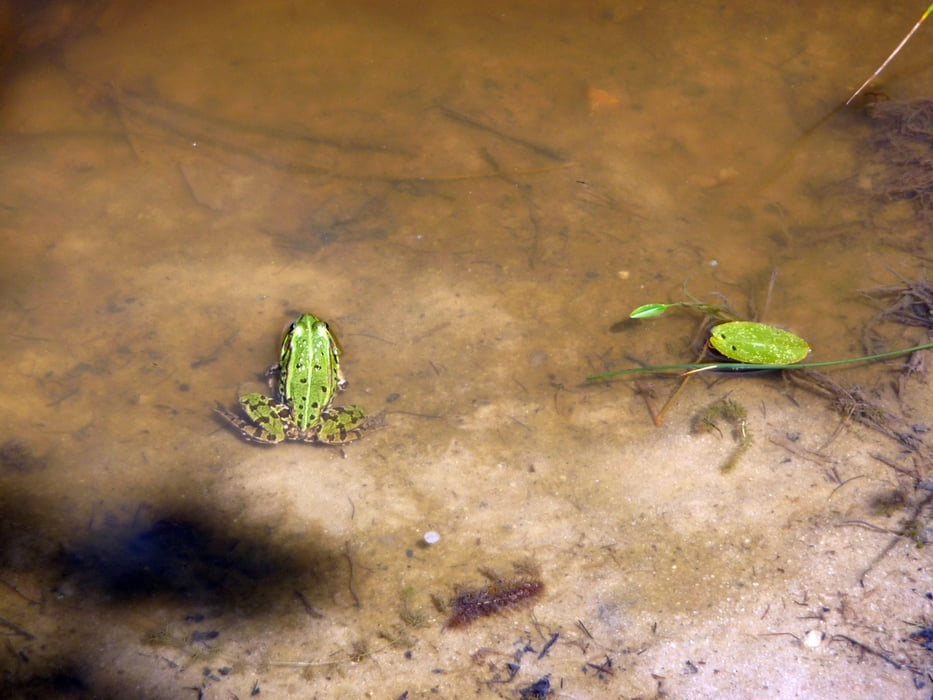
Start ist immer in Feucht. Wer dabei an einen Ort vor den Toren Nürnbergs denkt ist im Vorteil.
Tracks GPS
Trackpoints-
GPX / Garmin Map Source (gpx) download
-
TCX / Garmin Training Center® (tcx) download
-
CRS / Garmin Training Center® (crs) download
-
Google Earth (kml) download
-
G7ToWin (g7t) download
-
TTQV (trk) download
-
Overlay (ovl) download
-
Fugawi (txt) download
-
Kompass (DAV) Track (tk) download
-
Feuille de tours (pdf) download
-
Original file of the author (gpx) download
More about the tour author
|
|
uweg |
Add to my favorites
Remove from my favorites
Edit tags
Open track
My score
Rate